Map size in jpg-format: 103.92MiB
Click to open in high resolution (open in new tab).
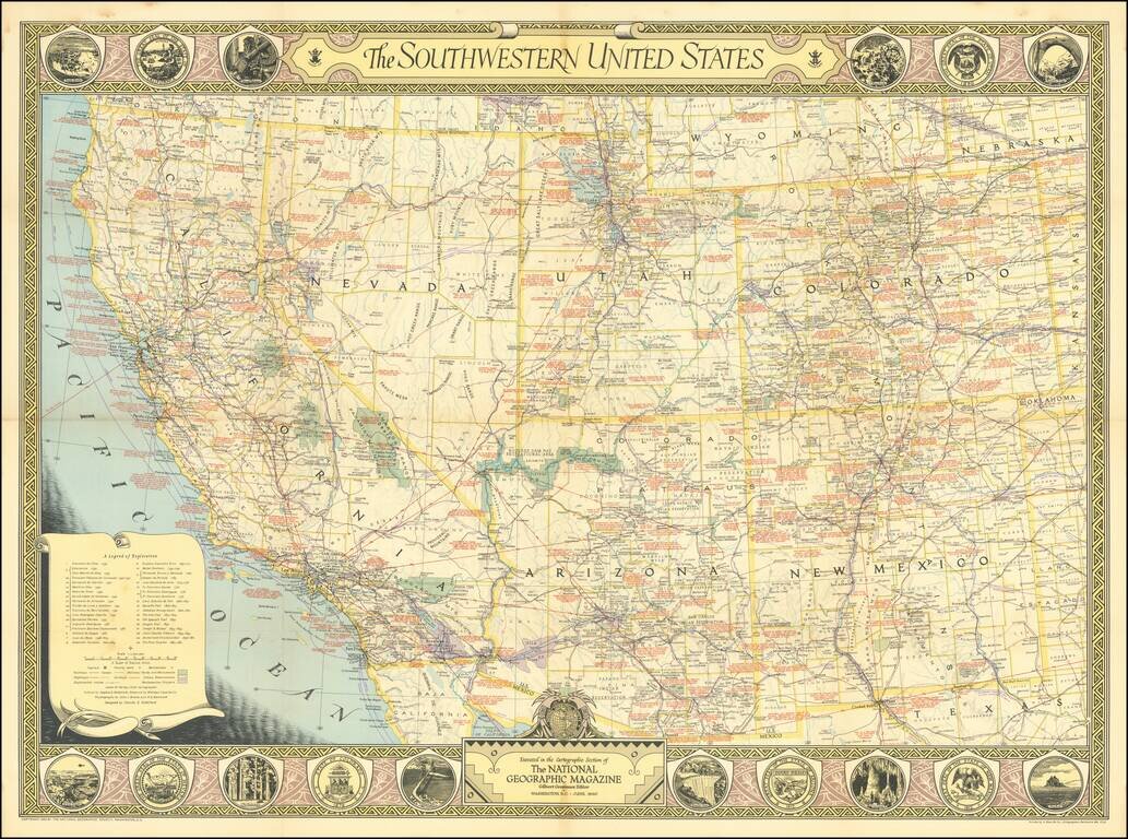
Nice vintage pictorial map of the American Southwest issued by the National Geographic Magazine in 1940.
The map itself is filled with an immense amount of information, including historical notes in red. The borders feature important scenes from the region (such as the Mount Palomar observatory in San Diego County), and the seals of the states depicted.
If you are a student, write to us in telegram: @antiquemaps and indicate what material you need and for what work you need a map in high detail. We are ready to provide material on special terms. For students only!
![Carte Du Mexique et de la Floride des Terres Angloises et des Isles Antilles du Cours et des Environs de la Riviere Mississipi . . . Rue Des Canettes . . . 1703 [1st State]](/map/small/66307op.jpg)