logo

1676. Herefordshire described With the true plot of the Citie Hereford as alsoe the Armes of thos Nobles that have bene intituled with that Dignitye

  • Herefordshire described With the true plot of the Citie Hereford as alsoe the Armes of thos Nobles that have bene intituled with that Dignitye

Herefordshire described With the true plot of the Citie Hereford as alsoe the Armes of thos Nobles that have bene intituled with that Dignitye information:

Year of creation: 
Resolution size (pixels): 
 12683x9758 px
Disk Size: 
 23.6804MiB
Number of pages: 
 1
Place: 
 London
Author: 

Print information. Print size (Width x height in inches):
Printing at 72 dpi 
  176.15 х 135.53
Printing at 150 dpi 
 84.55 х 65.05
Printing at 300 dpi 
 42.28 х 32.53

An example of detailing the file of this map of in a printable high-resolution:

Click to open in high resolution (open in new tab).
Attention! this is just the central piece (central area 960x960 px) of the map file!
This is an example, so that you can see and study the level of detail of a given map. The entire Map will be fully available after payment!

Herefordshire described With the true plot of the Citie Hereford as alsoe the Armes of thos Nobles that have bene intituled with that Dignitye

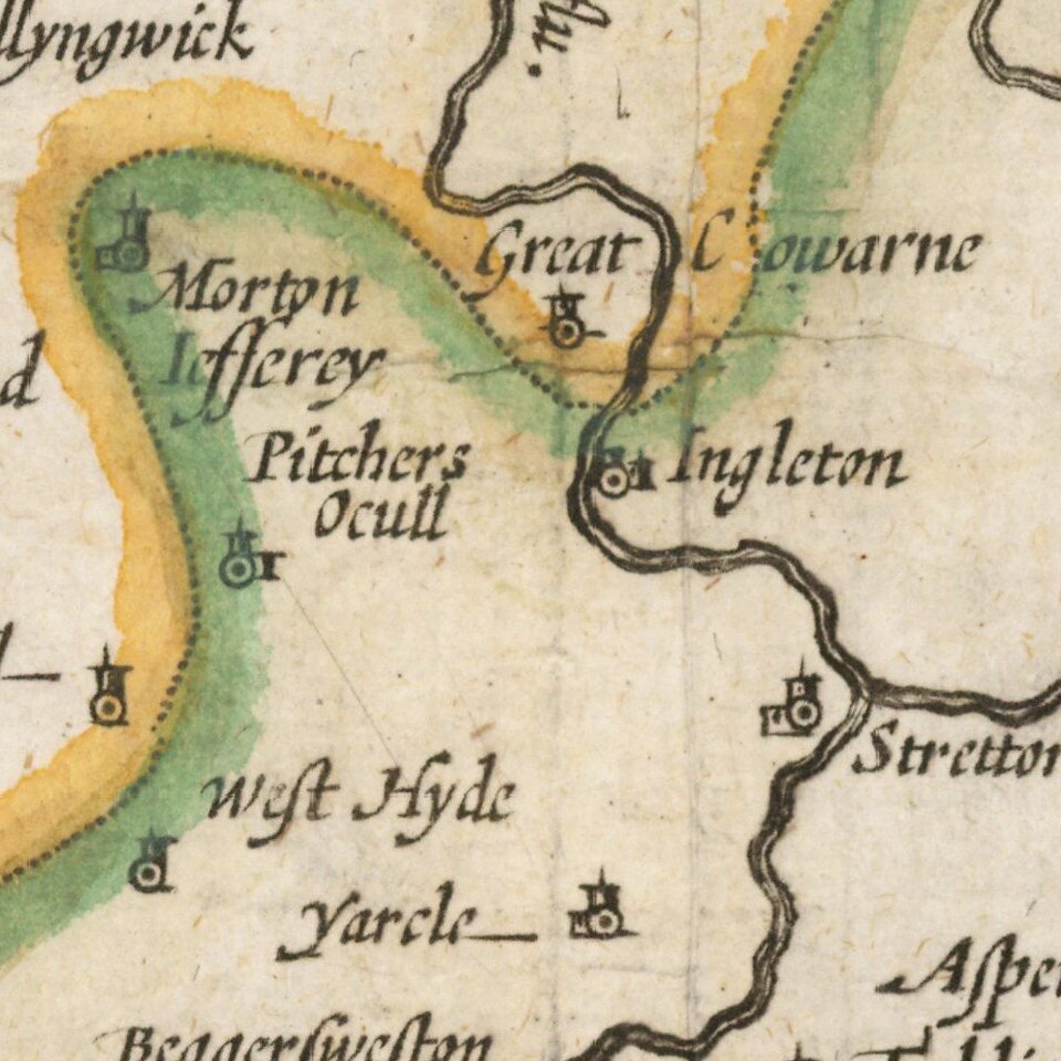
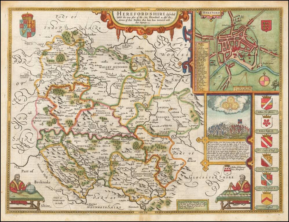
A nice example of this decorative County map by John Speed.

Includes an inset plan of Hereford, 7 coats of arms, a battle seen from 1461 and inset of a globe maker.

John Speed (1551 or '52 - 28 July 1629) was the best known English mapmaker of the Stuart period. Speed came to mapmaking late in life, producing his first maps in the 1590s and entering the trade in earnest when he was almost 60 years old.

John Speed's fame, which continues to this day, lies with two atlases, The Theatre of the Empire of Great Britaine (first published 1612), and the Prospect of the Most Famous Parts of the World (1627). While The Theatre ... started as solely a county atlas, it grew into an impressive world atlas with the inclusion of the Prospect in 1627. The plates for the atlas passed through many hands in the 17th century, and the book finally reached its apotheosis in 1676 when it was published by Thomas Bassett and Richard Chiswell, with a number of important maps added for the first time.


Special conditions for students!

If you are a student, write to us in telegram: @antiquemaps and indicate what material you need and for what work you need a map in high detail. We are ready to provide material on special terms. For students only!

Item information:

Year of creation:
Size:
12683x9758 px
Disk:
23.6804MiB
Number of pages:
1
Place:
London
Author:
John Speed.
$14.99

Related item