Map size in jpg-format: 27.6749MiB
Click to open in high resolution (open in new tab).
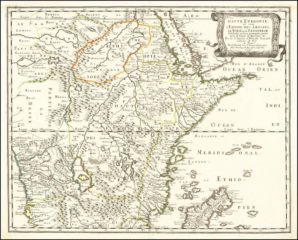
Nice example of the first edition of Sanson's map of the Red Sea and Abyssinia, south to Madagascar, Zanzibar and the Congo Region.
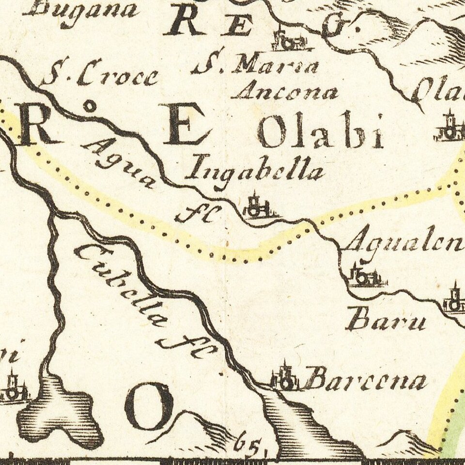
Fabulous detail in the interior of the map, including towns, mountains, lakes, rivers and a host of other information. In the cartouche, Sanson credits the details of the map to Mercator and Sanut (almost certain Livio Sanuto).
Livio Sanuto (c.1520-1576), was a Venetian cosmographer, mathematician, and maker of terrestrial globes and also belonged to the prestigious Lafreri school of engravers, whose output signaled the transition between the maps of Ptolemy and the maps of Mercator and Ortelius. He and his brother Giulio, planned a massive and comprehensive atlas to include maps and descriptions of the whole world, which he believed would be more accurate than any previously published. Unfortunately, he died in 1576 having only completed 12 maps of Africa. The 12 maps were eventually published in 1588 by Livio's brother Giulio, under the title " Geografia Di M. Livio Sanuto..." . In the compilation of this and the other African maps, Sanuto relied on Gastaldi's 1564 map and Portuguese sea charts for the mapping of the coasts and for information about the interior, using accounts by Duarte Barbosa and João de Barros. After its publication in 1588, this work was copied by other leading map makers for nearly a century afterward.
Nicholas Sanson (1600-1667) is considered the father of French cartography in its golden age from the mid-seventeenth century to the mid-eighteenth. Over the course of his career he produced over 300 maps; they are known for their clean style and extensive research. Sanson was largely responsible for beginning the shift of cartographic production and excellence from Amsterdam to Paris in the later-seventeenth century.
Sanson was born in Abbeville in Picardy. He made his first map at age twenty, a wall map of ancient Gaul. Upon moving to Paris, he gained the attention of Cardinal Richelieu, who made an introduction of Sanson to King Louis XIII. This led to Sanson's tutoring of the king and the granting of the title ingenieur-geographe du roi.
His success can be chalked up to his geographic and research skills, but also to his partnership with Pierre Mariette. Early in his career, Sanson worked primarily with the publisher Melchior Tavernier. Mariette purchased Tavernier’s business in 1644. Sanson worked with Mariette until 1657, when the latter died. Mariette’s son, also Pierre, helped to publish the Cartes générales de toutes les parties du monde (1658), Sanson' atlas and the first French world atlas.
If you are a student, write to us in telegram: @antiquemaps and indicate what material you need and for what work you need a map in high detail. We are ready to provide material on special terms. For students only!


