Map size in jpg-format: 24620800B
Click to open in high resolution (open in new tab).
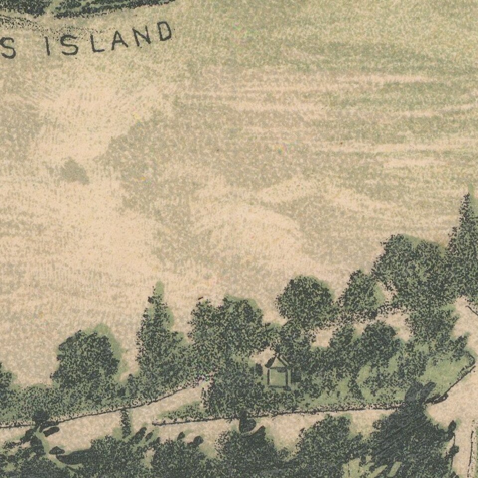
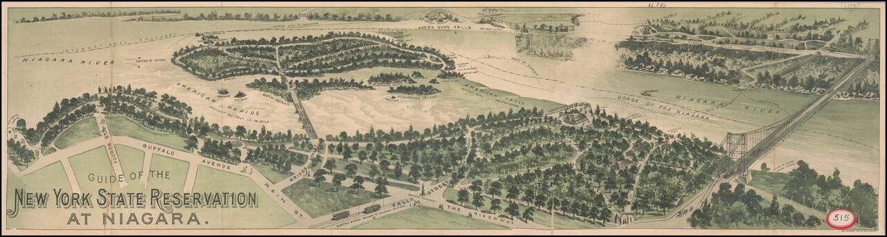
Interesting promotional birdseye view style guide map, illustrating the area around Niagara Falls, looking across from Buffalo Avenue and Falls Street to Goats Island, Horseshoe Falls and the Canadian side of the falls.
The map illustrates the major streets and roads in and around the falls, locates the Candian-American Boundary, bridges and includes other interesting details regarding the falls and the river.
At the right is a large suspension bridge and illustrations showing the ferry lines, ferry landings, etc., with street card lines and other details in the foreground.
If you are a student, write to us in telegram: @antiquemaps and indicate what material you need and for what work you need a map in high detail. We are ready to provide material on special terms. For students only!

![[Site of A Presidential Assassination] Plan of the Pan American Exposition to be held at Buffalo, New York (May 1 - Nov. 1, 1901)](/map/small/69181.jpg)