Map size in jpg-format: 27.567MiB
Click to open in high resolution (open in new tab).
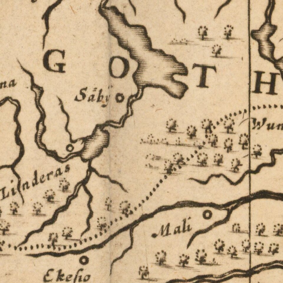
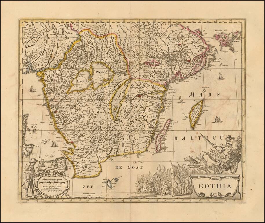
Decorative map of Gothia, published by Valk & Schenk.
The map is richly decorated with a large figurative cartouche, scale of miles and sailing ships.
Shows the area including Gothenburg, Malmo, Copenhagen, Lund, Helsingborg, Kristianstad, Karlskrona, Kalmar, etc. Stockholm and Uppsala appear in the very northeastern corner, with Oslo in the northwest.
Peter Schenk the Elder (1660-1711) moved to Amsterdam in 1675 and began to learn the art of mezzotint. In 1694 he bought some of the copperplate stock of the mapmaker Johannes Janssonius, which allowed him to specialize in the engraving and printing of maps and prints. He split his time between his Amsterdam shop and Leipzig and also sold a considerable volume of materials to London.
Peter Schenk the Elder had three sons. Peter the Younger carried on his father’s business in Leipzig while the other two, Leonard and Jan, worked in Amsterdam. Leonard engraved several maps and also carried on his father’s relationship with engraving plates for the Amsterdam edition of the Histoire de l'Académie Royale des Sciences.
If you are a student, write to us in telegram: @antiquemaps and indicate what material you need and for what work you need a map in high detail. We are ready to provide material on special terms. For students only!