
Map size in jpg-format: 179.063MiB
Click to open in high resolution (open in new tab).
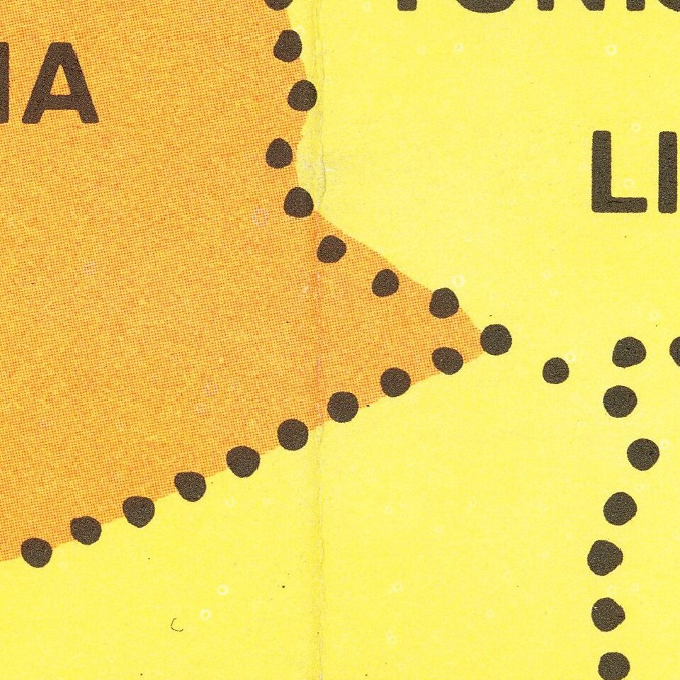
A map of the world by LIFE magazine showing the extent of the "allied free nations" and the "communist alliance" at the height of the Cold War. Red arrows expand from Moscow and Peking to show present and past aggression by Communist nations. Larger white arrows, perhaps indicating open conflict, push on Berlin, Kashmir, Nepal, Burma, and Taiwan.
The portrayal of the so-called "third world" countries is one of the most interesting features of the map. All African countries, Switzerland, Austria, Ireland, Sweden, and Finland are all unaligned. While most of these countries were anti-communist, their policies of military non-intervention did not permit them status as an "allied free nation." These have a counterpart to some degree by nations that have a "red regime in power," notably Yugoslavia and Cuba. Yugoslavia's disagreements with the USSR are well documented, and Cuba was in a process of estrangement from the US and rapprochement with the "Communist Alliance." It would be two years after the publication of this map when Castro would start building a Soviet-style state. The regions which see "trouble and tension" are also interesting, with South Vietnam, Northern India, and many other nations threatened.
The map resembles a propaganda poster. The line between informing readers and reinforcing a point of view is blurred. The wording and depictions all clearly indicate an expanding and threatening communist alliance, which, in 1961, was perhaps may not have been too far from the truth.
This would have been a supplementary insert in a LIFE magazine issue.
If you are a student, write to us in telegram: @antiquemaps and indicate what material you need and for what work you need a map in high detail. We are ready to provide material on special terms. For students only!


