Map size in jpg-format: 1.53043MiB
Click to open in high resolution (open in new tab).
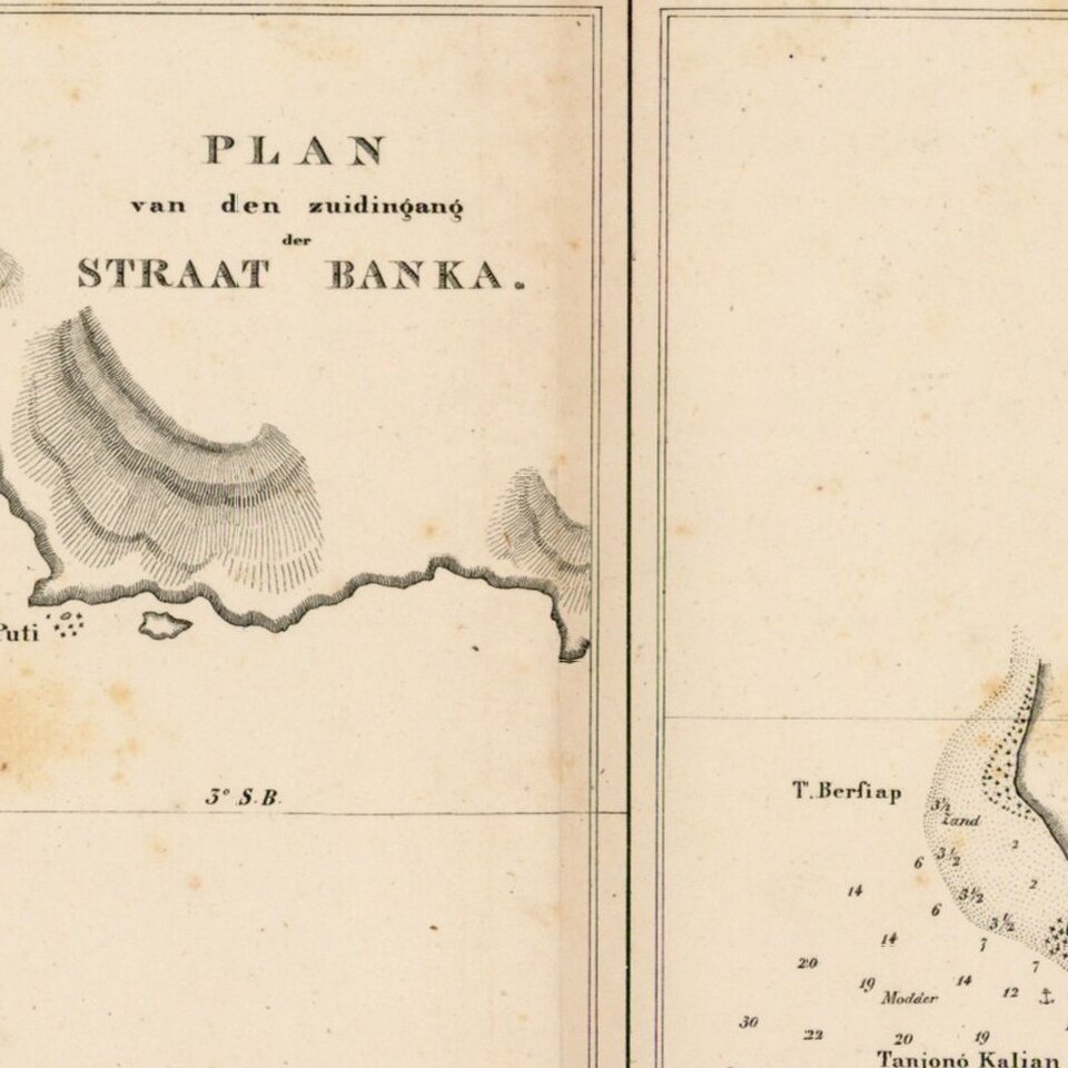
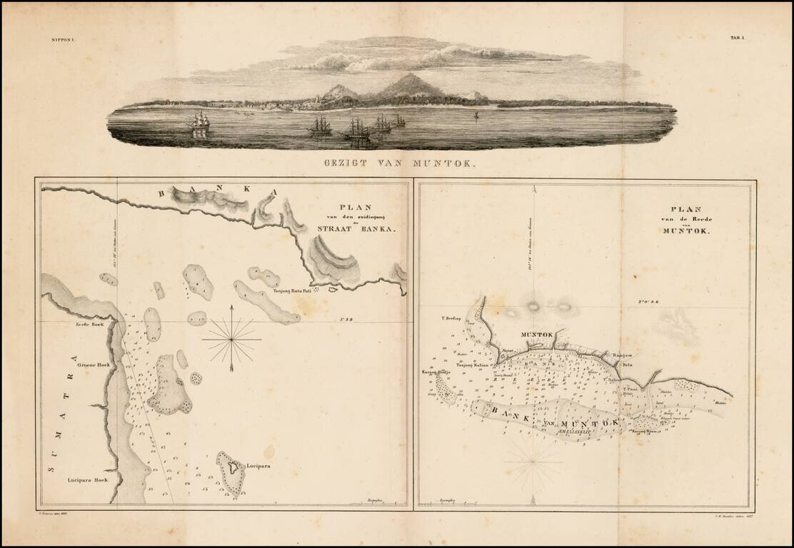
Fine panoramic view of Muntok in the top and two charts of Strait Bangka and offshore of Muntok on Bangka, drawn by Pistorius and I.W.Burslen.
This group is of considerable historical importance as the first published maps focusing on Palembang, Sumatra and the Island of Bangka (located nearby) based on scientific surveys, done following the region's subjugation to Dutch colonial rule.
While Sumatra and the surrounding islands had been claimed by the Dutch East India Company (the VOC) since the early 17th-century, in actuality until the early 19th-century the region was controlled by indigenous sultans who maintained a loose tributary relationship with the VOC. Following the Napoleonic Wars, things changed as the Dutch decided to assume more direct control over the Indonesian Archipelago.
The Island of Bangka, located just off of the southeastern coast of Sumatra, had fallen under British suzerainty in 1806. However, the Anglo-Dutch Treaty of 1814 (also known as the Convention of London) transferred the island to Dutch rule. The present map, Het Eiland Banka, is based on the first scientific survey of the island, conducted by Dutch engineers in 1819.
The maps are from Phillip Franz von Siebold's epic study of Indonesia, Japan and Korea, included in the first volume of Nippon. Archiv zur Beschreibung von Japan und dessen Neben- und Schutzländern: jezo mit den südlichen Kurilen, Krafto, Koorai und den Liukiu-Inseln (7 volumes, printed in Leiden, Netherlands, 1832-1852). Highly detailed and profusely illustrated, it was by far the finest and most important European study of the history, ethnography, geography and flora and fauna of much of Indonesia, Japan and Korea published to date.
Phillip Franz von Siebold (1796-1866) was a German physician, who joined the service of the Dutch East India Company (the VOC). Arriving in Batavia (Jakarta) in 1823, he was given privileged access to the map archives of the VOC, including the original manuscript surveys that were the basis for the present maps. He subsequently travelled to Japan, where he acquired groundbreaking sources on the cartography of Japan and Korea.
These maps of Bangka are historically important monuments of the introduction of scientific cartography to Indonesia as well as fascinating artifacts recording critical events during which the Netherlands consolidated its control over the archipelago.
The maps are very rare. We are not aware of another example of this map sheet containing Het Eiland Banka and De Rivier van Palembang appearing as a separate sheet on the market during the last 30 years. In 2013, a leading dealer was offering an incomplete set of the books for $100,000 which was lacking more than 500 pages of text and over 30 plates.
Mentok is located on the north-west coast of Bangka Island and is the port from where jetfoils and ferries depart for Palembang, on the Sumatran mainland.
This set of maps was later copied by Gerard Hulst Van Keulen in the 1850s.
If you are a student, write to us in telegram: @antiquemaps and indicate what material you need and for what work you need a map in high detail. We are ready to provide material on special terms. For students only!
![[Signed Political Satire Artwork] Vietnam ... Vietnam ... Vietnam ...](/map/small/68726.jpg)
![[Martin Behaim Globe / Book] Pars Globi terrestris Ao. 1492 a Martino Behaim Equite Lusitano Norimbergae confecti Delineavit Christoph. Theoph de Murr 1778 (bound with:) Diplomatische Geschichte des Portugesischen berühmten Ritters Martin Behaims](/map/small/68828.jpg)
![Il Disegno Della Terza Parte Dell' Asia [Gastaldi's Wall Map of SE Asia with extra panels!]](/map/small/30554hbp.jpg)