Map size in jpg-format: 1.0903MiB
Click to open in high resolution (open in new tab).
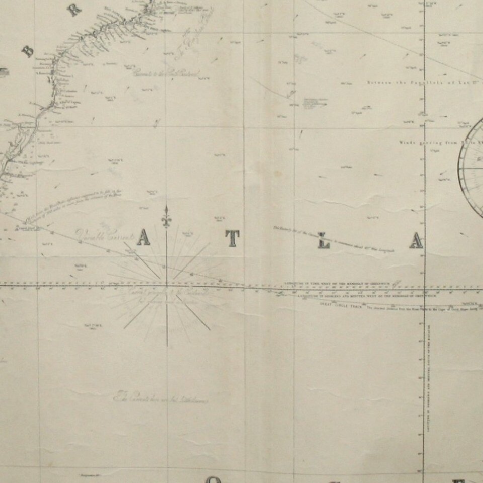
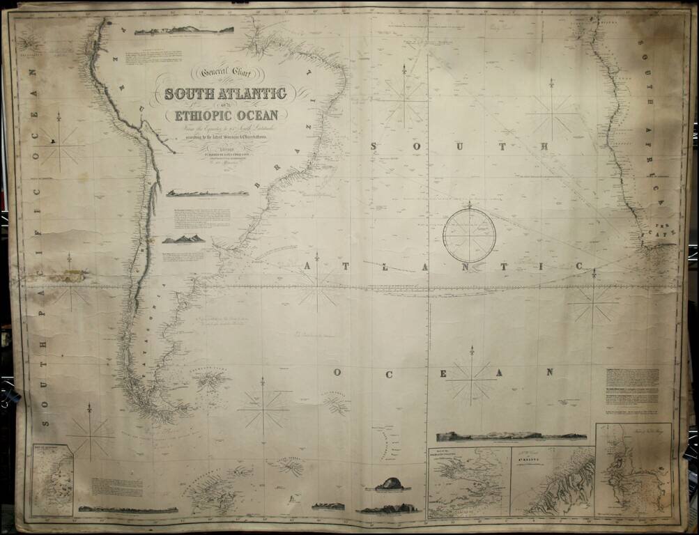
Fine working sea chart of the South Atlantic, showing the parts of South America and Africa in the Southern Hemisphere.
Includes insets of the Falklands, Table Bay and St. Helena, along with several profile views.
If you are a student, write to us in telegram: @antiquemaps and indicate what material you need and for what work you need a map in high detail. We are ready to provide material on special terms. For students only!


