logo

1581. Frisiae Orientalis Descriptio

  • Frisiae Orientalis Descriptio

Frisiae Orientalis Descriptio information:

Year of creation: 
Resolution size (pixels): 
 6602x5441 px
Disk Size: 
 7.57927MiB
Number of pages: 
 1
Place: 
 Antwerp
Author: 

Print information. Print size (Width x height in inches):
Printing at 72 dpi 
  91.69 х 75.57
Printing at 150 dpi 
 44.01 х 36.27
Printing at 300 dpi 
 22.01 х 18.14

An example of detailing the file of this map of in a printable high-resolution:

Click to open in high resolution (open in new tab).
Attention! this is just the central piece (central area 960x960 px) of the map file!
This is an example, so that you can see and study the level of detail of a given map. The entire Map will be fully available after payment!

Frisiae Orientalis Descriptio

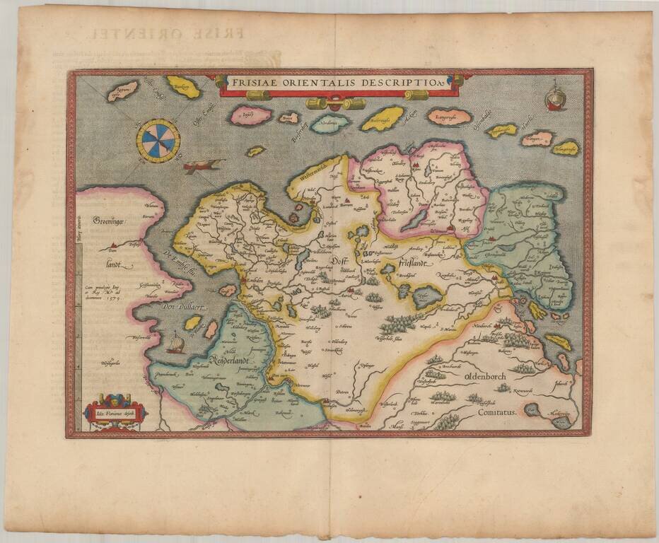
Nice example of Ortelius' map East Friesland, from his Theatrum Orbis Terrarum, the first modern atlas of the world.

Includes a curious compass and three sailng vessels.

Van Den Broeck 82.

Special conditions for students!

If you are a student, write to us in telegram: @antiquemaps and indicate what material you need and for what work you need a map in high detail. We are ready to provide material on special terms. For students only!

Item information:

Year of creation:
Size:
6602x5441 px
Disk:
7.57927MiB
Number of pages:
1
Place:
Antwerp
Author:
Abraham Ortelius.
$14.99

Related item