Map size in jpg-format: 8932990B
Click to open in high resolution (open in new tab).
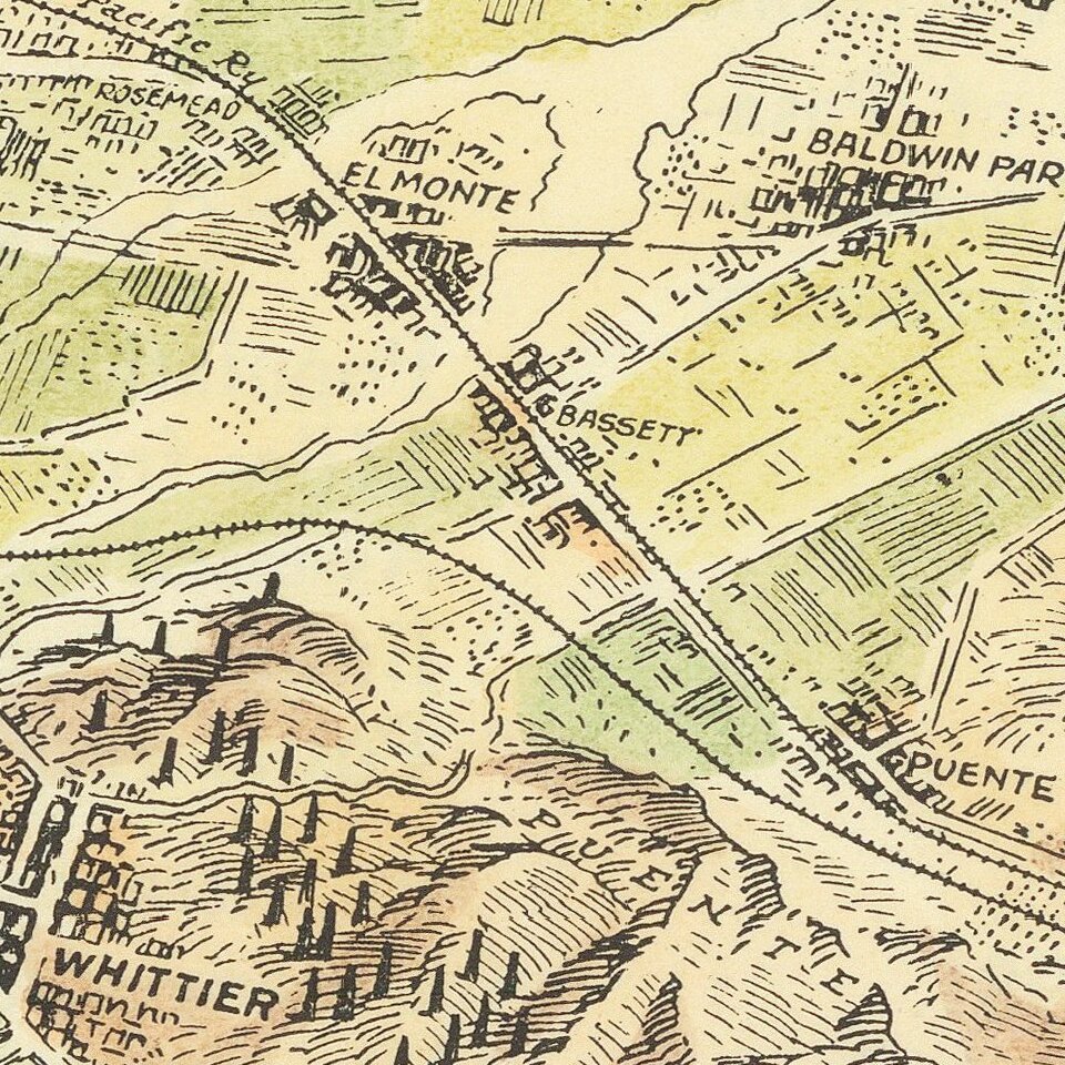
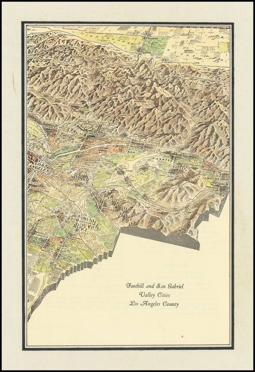
Interesting promotional map of the Eastern portion of Los Angeles County, likely published at about the time of the1932 Olympics.
The map is centered on Pasadena and the the San Gabriel Valley, stretching north to Lancaster and south to Artesia and Santa Fe Springs, with dozens of oil wells shown.
If you are a student, write to us in telegram: @antiquemaps and indicate what material you need and for what work you need a map in high detail. We are ready to provide material on special terms. For students only!
![[Signed Political Satire Artwork] Vietnam ... Vietnam ... Vietnam ...](/map/small/68726.jpg)

