Map size in jpg-format: 77.8212MiB
Click to open in high resolution (open in new tab).
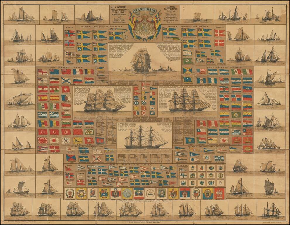
Scarce Swedish chart showing the flags of the World, published in Stockholm
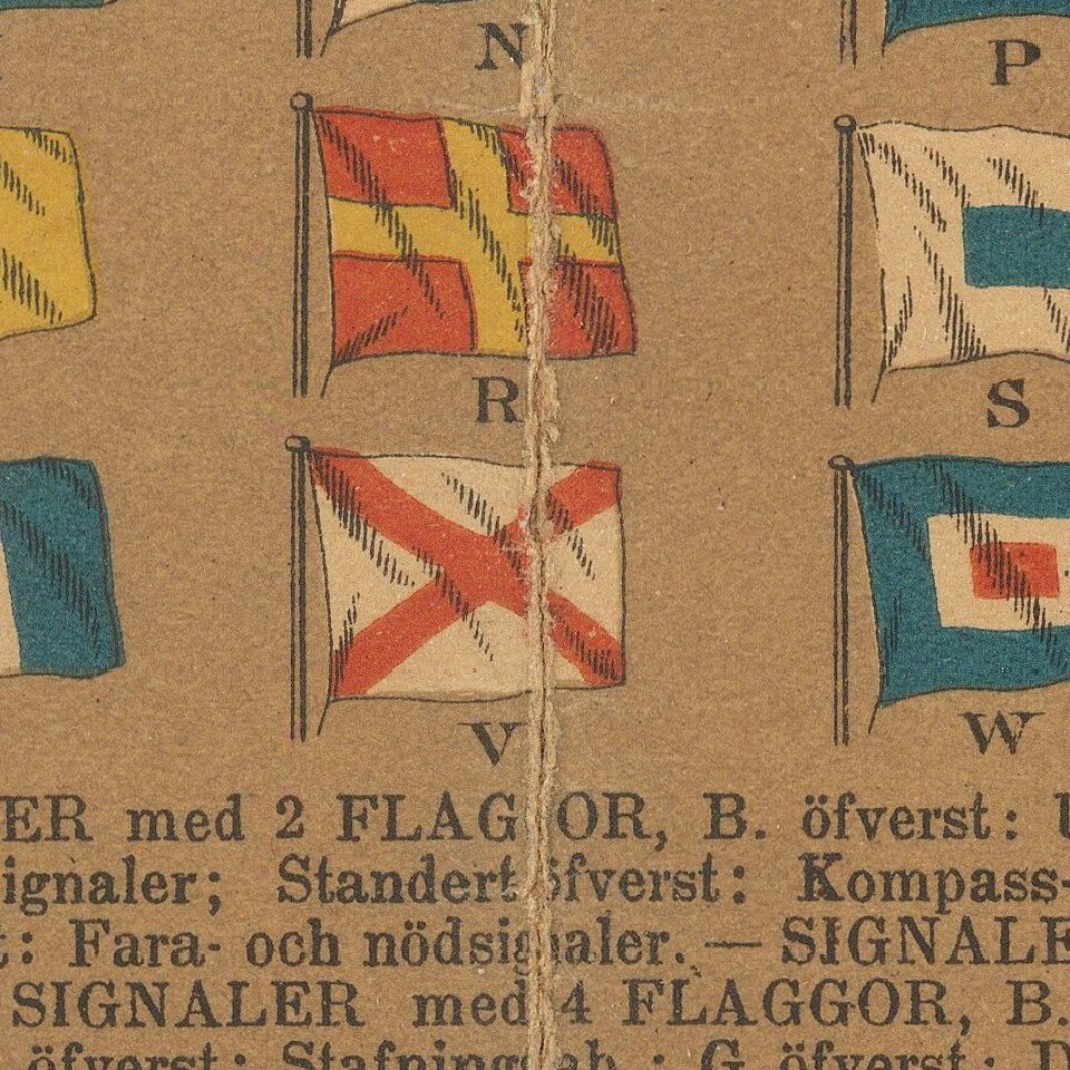
Toward the top, the maker illustrates a number of Swedish nautical flags, with the rest of the world's flags appearing below.
Another section highlights signal flags of different shipping companies and illustrations of different types of sailing vessels.
At the center are 4 large sailing vessels with a meticulous display of the names of the equipment of each vessel.
If you are a student, write to us in telegram: @antiquemaps and indicate what material you need and for what work you need a map in high detail. We are ready to provide material on special terms. For students only!


