Map size in jpg-format: 88.3524MiB
Click to open in high resolution (open in new tab).
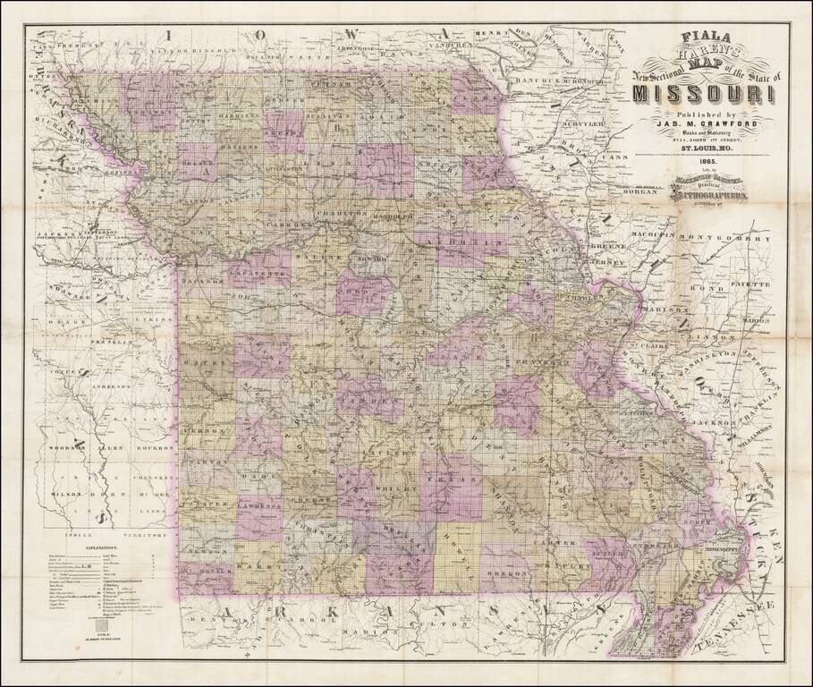
Rare separately published map of Missouri by Fiala and Haren, published in St. Louis by James M. Crawford.
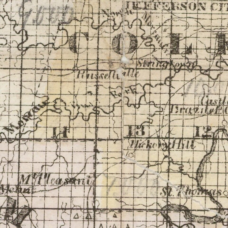
The map is hand colored by counties and subdivided by townships, with an extensive explanation of symbols at the bottom left corner.
Among the places depicted are:
The map was lithographed by Mackenzie and Gardiner, Practical Lithographers. 51 Cestnut St. N.E. Corner of 3d"
If you are a student, write to us in telegram: @antiquemaps and indicate what material you need and for what work you need a map in high detail. We are ready to provide material on special terms. For students only!
![[Missouri named Jefferson] Etats-Unis par A.M. Perrot](/map/small/69488.jpg)
![[The Mississippi-Missouri: A Geographical Blunder -- An Illustrated Argument For Renaming The Lower Mississippi River Put Forth By A Prominent American Educator To The Author of a Best Selling American School Geography]](/map/small/56241.jpg)