Map size in jpg-format: 1.41039MiB
Click to open in high resolution (open in new tab).
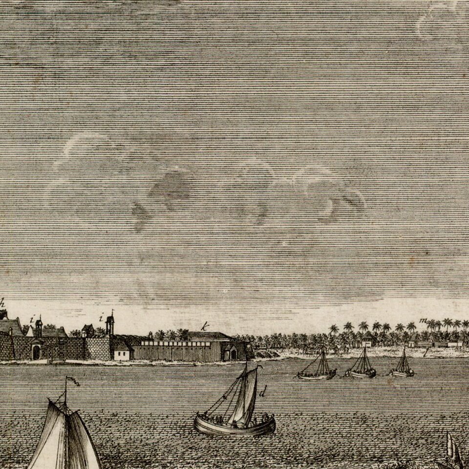
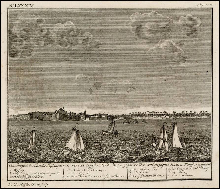
Birdseye view of the Dutch Fort at Jaffnapatnam, from Johann Wolfgang Heydt's Allerneuster Geographisch- und topographischer Schau-Platz von Africa und Ost-Indien.
The view depicts Jaffnapatnam the fort on the coast of Sri Lanka. This Portuguese built fort was captured by the Dutch and remained under the VOCs command as part of six different coastal territories, after they took over the Portuguese rule as consequence of an over three month siege in 1658. The kingdom of Jaffnapatnam consisted of 13 islands and four provinces, and the Dutch maintained rule for 138 years.
If you are a student, write to us in telegram: @antiquemaps and indicate what material you need and for what work you need a map in high detail. We are ready to provide material on special terms. For students only!

![Il Disegno Della Terza Parte Dell' Asia [Gastaldi's Wall Map of SE Asia with extra panels!]](/map/small/30554hbp.jpg)
