Map size in jpg-format: 1.06933MiB
Click to open in high resolution (open in new tab).
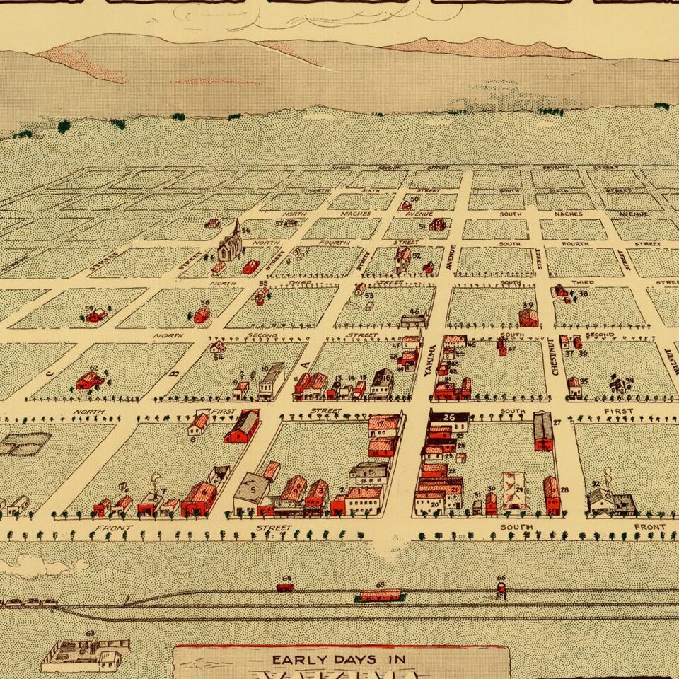
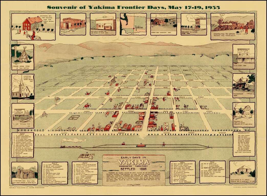
Scarce view of the town of Yakima, Washington, as it appeared in 1885.
The view shows a plan of the City, naming streets and identifying 67 early structures. The map is surrounded by views of early buildings, including the Block House at Ft. Simcoe (1856), J P Mattoon Cabin (1870), the oldest surviving house in Yakima, and a number buildings which then existed in 1885, along with other indigenous scenes.
The view was prepared as a Souvenir for the Yakima Frontier Days, May 17-19, 1935.
The view is listed in Reps, Views & Viewmakers of Urban America, #4205, locating 2 example, both in Yakima.
If you are a student, write to us in telegram: @antiquemaps and indicate what material you need and for what work you need a map in high detail. We are ready to provide material on special terms. For students only!
![[Map of the United States, illustrating the routes of the Candian Pacific Railway and the Seattle, Lake Shore and Eastern Railway]](/map/small/71080.jpg)

