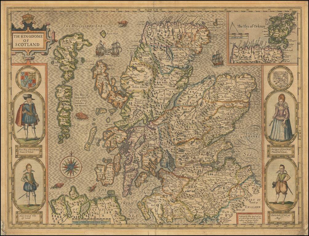
Map size in jpg-format: 2.70108MiB
Click to open in high resolution (open in new tab).
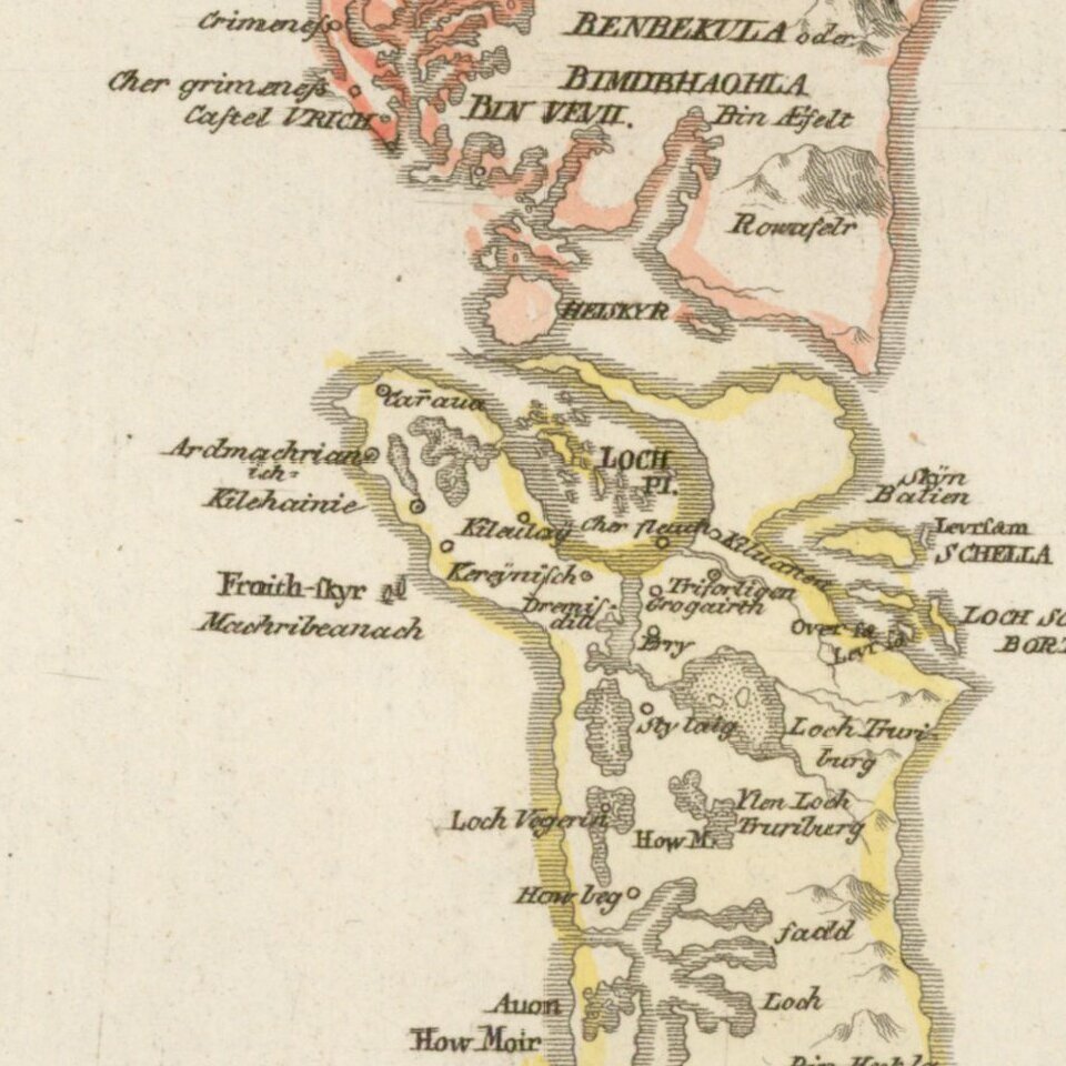
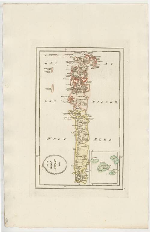
Striking map of Uist, other western Scotish Islands, from Von Reilly's remarkable atlas.
Extends north to Harries (Harris) Island and south the the southernmost tip of South Uist Island.
If you are a student, write to us in telegram: @antiquemaps and indicate what material you need and for what work you need a map in high detail. We are ready to provide material on special terms. For students only!