
Map size in jpg-format: 21.7197MiB
Click to open in high resolution (open in new tab).
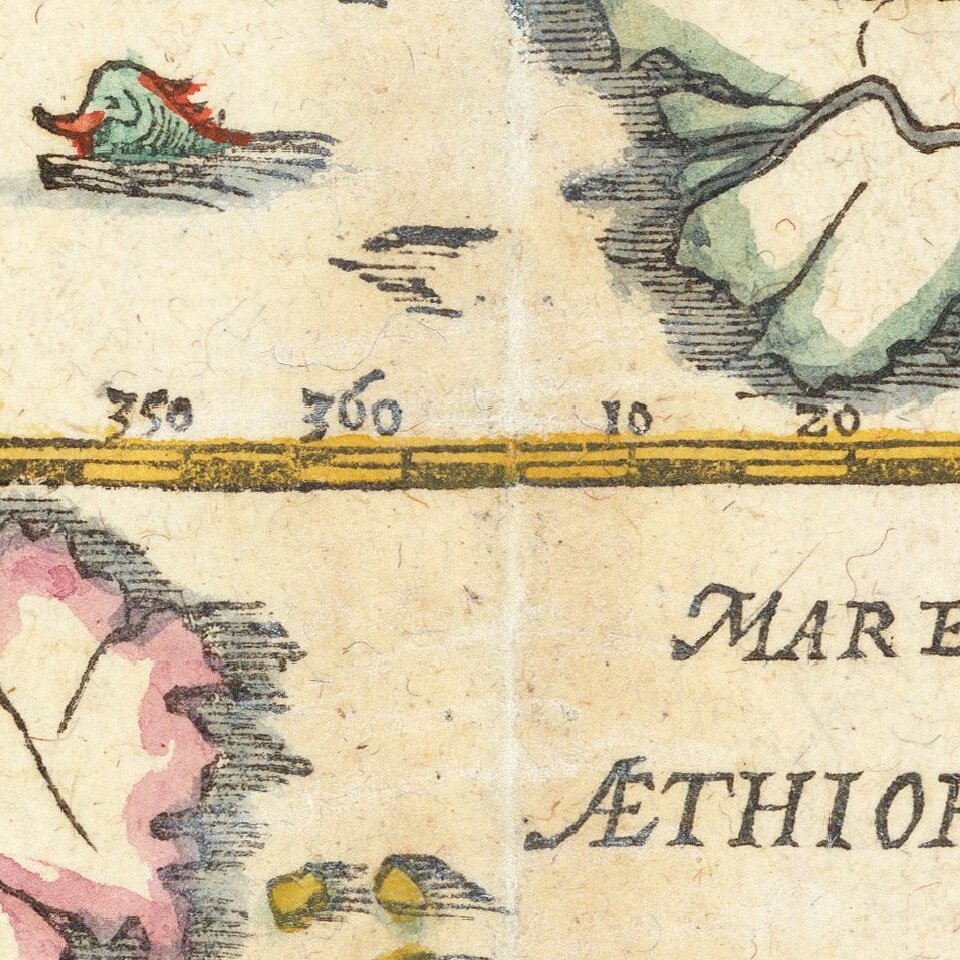
Updated Map of the World From Munster's Cosmographia.
Decorative example of this revised and updated map of the World, based upon Abraham Ortelius' world map, which appeared in Munster's Cosmographia after 1588.
This map first appeared in the revised edition of Munster's Cosmographia in 1588 and was part of a revised group of maps largely based upon Ortelius.
The map includes a marvelous depiction of the Northwest and Northeast passages. The massive unknown southern continent (Terra Australis Nondum Cognita) is retained, as are early references drawn from Marco Polo's travels, including the location of Beach near modern day Australia. Japan is shown, as are the Kingdom's of Quivira and Anian on the West Coast of North America. Florida, Nova Francia Granada and Nova Hispania are other the regional names depicted in North America. Fascinating depiction of Southeast Asia, China and Korea.
The map is elegant in its simplicity and stark depictions of the coasts, rivers and inland seas of the World.
If you are a student, write to us in telegram: @antiquemaps and indicate what material you need and for what work you need a map in high detail. We are ready to provide material on special terms. For students only!


