Map size in jpg-format: 5.5006MiB
Click to open in high resolution (open in new tab).
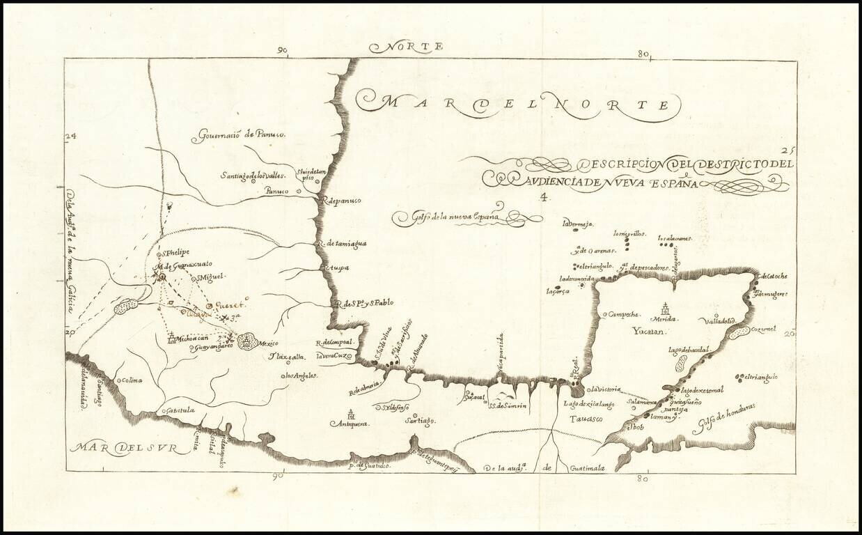
Fine example of the 1726 edition of Herrera's map of Mexico and the Yucatan, which first appeared in Herrera's Descripcion de las Indias Ocidentales, first published in Madrid in 1601.
Herrera's 1601 map of Mexico is one of the earliest obtainable maps of Mexico published in Spain.
If you are a student, write to us in telegram: @antiquemaps and indicate what material you need and for what work you need a map in high detail. We are ready to provide material on special terms. For students only!


![Map of Mexico, Central America, and the West Indies [Insets of Bermuda, Sandwich Islands, Jamaica and Panama Railroad]](/map/small/69133.jpg)