logo

1910. Denny's Pocket Map of Tehama County, California. Compiled From Latest Official and Private Data . . . 1913

  • Denny's Pocket Map of Tehama County, California.  Compiled From Latest Official and Private Data . . . 1913

Denny's Pocket Map of Tehama County, California. Compiled From Latest Official and Private Data . . . 1913 information:

Year of creation: 
Resolution size (pixels): 
 11906x5570 px
Disk Size: 
 15.3338MiB
Number of pages: 
 1
Place: 
 San Francisco
Author: 

Print information. Print size (Width x height in inches):
Printing at 72 dpi 
  165.36 х 77.36
Printing at 150 dpi 
 79.37 х 37.13
Printing at 300 dpi 
 39.69 х 18.57

An example of detailing the file of this map of in a printable high-resolution:

Click to open in high resolution (open in new tab).
Attention! this is just the central piece (central area 960x960 px) of the map file!
This is an example, so that you can see and study the level of detail of a given map. The entire Map will be fully available after payment!

Denny's Pocket Map of Tehama County, California.  Compiled From Latest Official and Private Data . . . 1913

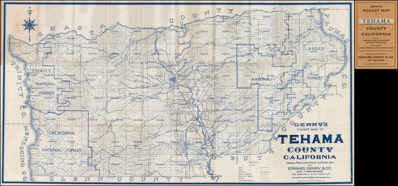
Rare Pocket Map of Tehama County.

Scarce pocket map of Tehama County, California, published by Edward Denny.

The map is centered on Red Bluff.


Special conditions for students!

If you are a student, write to us in telegram: @antiquemaps and indicate what material you need and for what work you need a map in high detail. We are ready to provide material on special terms. For students only!

Item information:

Year of creation:
Size:
11906x5570 px
Disk:
15.3338MiB
Number of pages:
1
Place:
San Francisco
Author:
Edward Denny & Co..
$14.99

Related item