
Map size in jpg-format: 1.35116MiB
Click to open in high resolution (open in new tab).
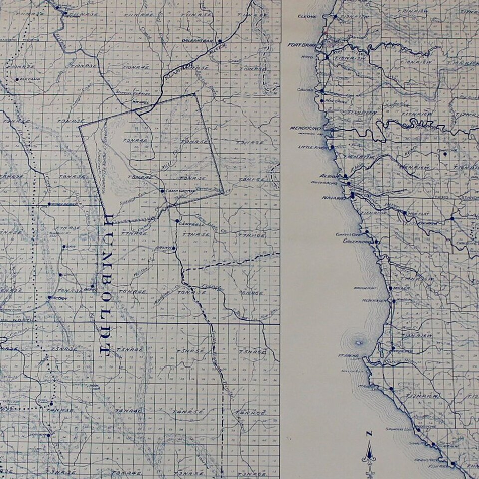
California's Redwood Belt
Unrecorded Edward Denny wall map of a portion of Northern California, illustrating the so-called Redwood Belt.
The map, in two strips, covers the California Coastline from Sonoma County to the Oregon border.
The so-called Redwood Belt is denoted by a bold dotted line, with Railroads and Trails also noted.
We note what may be a reference to the map in two government publications issued in 1913 and 1914 by the Department of Commerce, entitled "The Lumber Industry," which references a single page illustration of a map of the Redwood Belt in two parts.
The earliest references to the "Redwood Belt" seem to be circa 1887. The term seems to have been used primarily between 1890 and 1920.
This is one of the earliest maps to illustrate the "Redwood Belt." We located only the following earlier map: Map of the northern coast of California: showing the Redwood Belt, water courses, main divides and railroads. Feb. 1897.
We estimate the map as having been published in about 1910.
If you are a student, write to us in telegram: @antiquemaps and indicate what material you need and for what work you need a map in high detail. We are ready to provide material on special terms. For students only!


