Map size in jpg-format: 4.55253MiB
Click to open in high resolution (open in new tab).
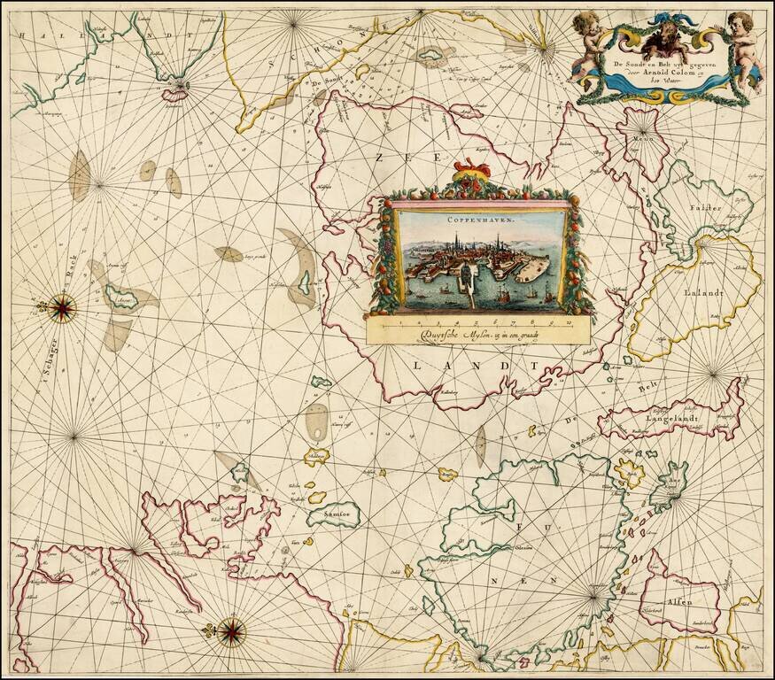
Striking sea chart of the Eastern Part of Denmark (including Copenhagen) and a part of the Swedish coastline opposite Copenhagen, published by Arnold Colom.
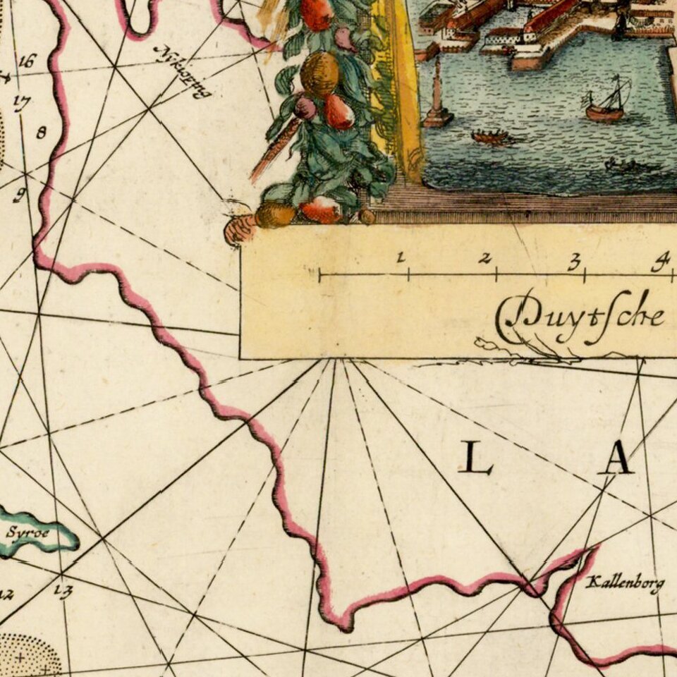
The chart includes a fine birdseye view of Copenhagen.
Arnold Colom was the son of Jacob Colom, a well regarded Amsterdam bookseller, printer, and chartmaker. Colom produced two sea atlases, a guide and pilot for the Mediterranean and a general sea atlas of the World. Colom's Zee Atlas, published between 1654-58, was one of the largest format sea atlases of the 17th Century, with each chart printed from an oversized copper plate. Koeman describes the atlas as "One of the most important atlases in the well known category of Dutch sea-atlases".
Apart from its rarity, the Zee-Atlas was of importance for its inclusion of the earliest Dutch sea chart of the New Netherlands to appear in an atlas (Jacob Theunisz Lootsman's chart is believed to pre-date it, but seems not to have been regularly published until later), while the "three charts of the oceans are on the same scale (1:14mill.) as Portuguese and Spanish charts of that time. It marked the first time that such charts were published as atlas sheets" (Koeman IV, p.115).
If you are a student, write to us in telegram: @antiquemaps and indicate what material you need and for what work you need a map in high detail. We are ready to provide material on special terms. For students only!


