logo

1572. Cuba (with early appearance of the Cayman Islands)

  • Cuba (with early appearance of the Cayman Islands)

Cuba (with early appearance of the Cayman Islands) information:

Year of creation: 
Resolution size (pixels): 
 4939x7970 px
Disk Size: 
 9.82818MiB
Number of pages: 
 1
Place: 
 Venice

Print information. Print size (Width x height in inches):
Printing at 72 dpi 
  68.6 х 110.69
Printing at 150 dpi 
 32.93 х 53.13
Printing at 300 dpi 
 16.46 х 26.57

An example of detailing the file of this map of in a printable high-resolution:

Click to open in high resolution (open in new tab).
Attention! this is just the central piece (central area 960x960 px) of the map file!
This is an example, so that you can see and study the level of detail of a given map. The entire Map will be fully available after payment!

Cuba (with early appearance of the Cayman Islands)

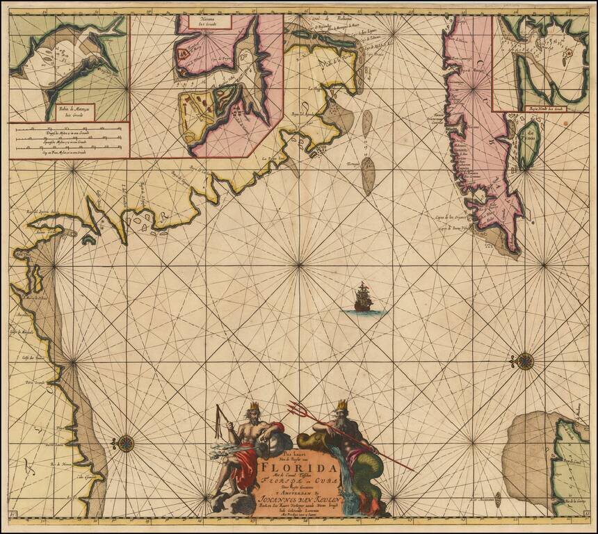
Interesting late example of Porcacchi's map of Cuba.

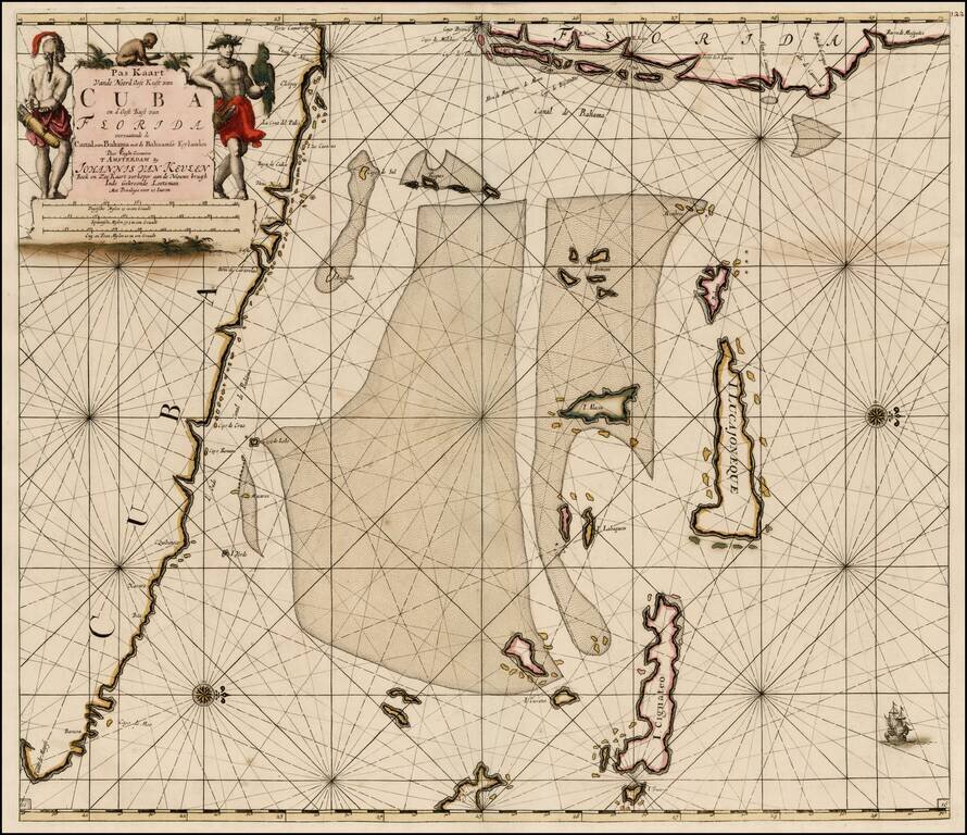
One of the earliest obtainable maps of Cuba and one of the few published in the 16th Century. Also shows Jamaica and part of Hispaniola.

Excellent topographical detail, if a bit conjectural, and naming many locations. Includes decorative cartouche, 2 sea monsters. and compass rose.

The Ye.de Lagartos shown north of Jamaica, is one of the earliest references to the Cayman Islands to appear on a map. An important early map for collectors of this Island.

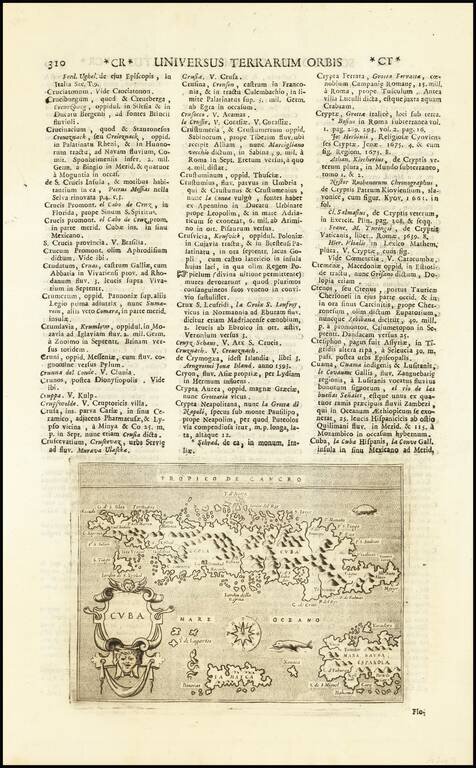
The map was first published in Porcacchi's seminal L'Isole Piu Famose Del Mondo, which appeared in various editions between 1572 and 1620 and later published by Lasor a Varea.


Special conditions for students!

If you are a student, write to us in telegram: @antiquemaps and indicate what material you need and for what work you need a map in high detail. We are ready to provide material on special terms. For students only!

Item information:

Year of creation:
Size:
4939x7970 px
Disk:
9.82818MiB
Number of pages:
1
Place:
Venice
Author:
Tomasso Porcacchi. Alphonsus Lasor a Varea.
$14.99

Related item