Map size in jpg-format: 61.2494MiB
Click to open in high resolution (open in new tab).
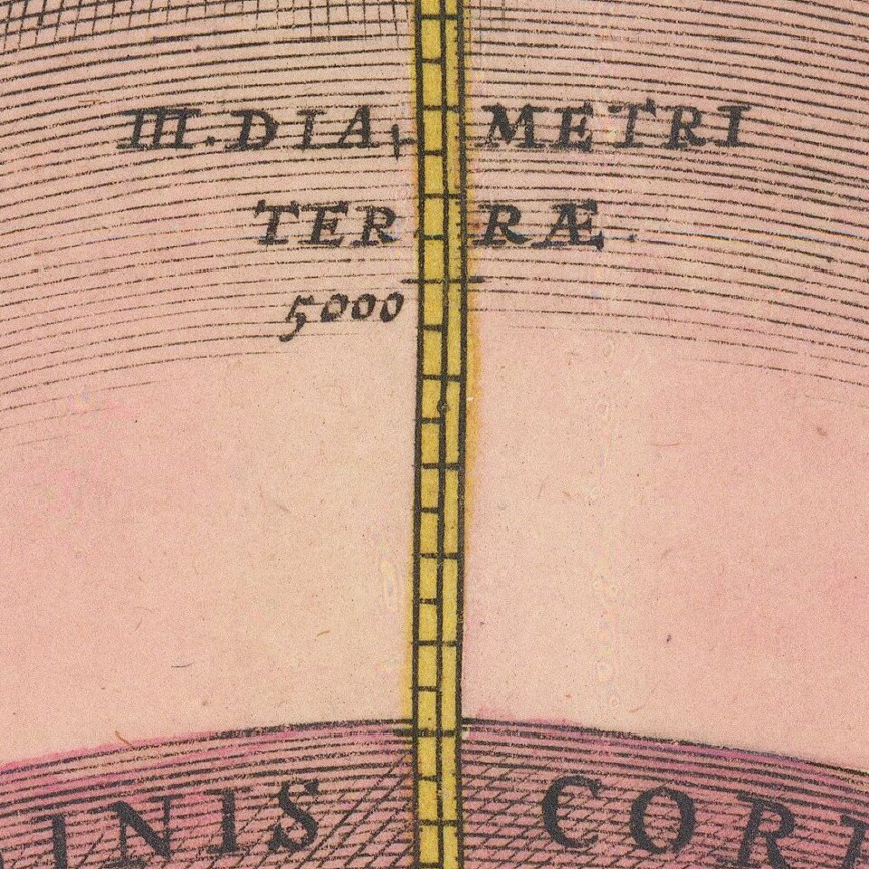
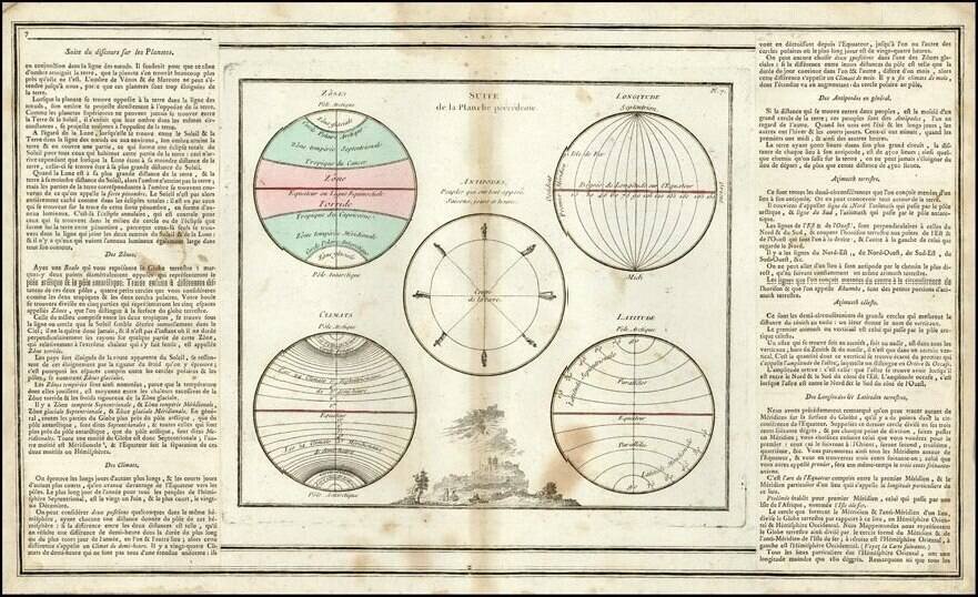
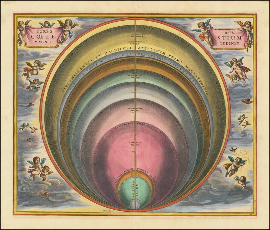
Striking celestial map by Andreas Cellarius, from the second edition of his Harmonia Macrocosmica
The map illustrates the magnitude of various celestial bodies and stars.
The Harmonia Macrocosmica of Andreas Cellarius is widely regarded as the most beautiful and finely executed celestial atlas ever published. The atlas appeared in two early editions of 1660 and 1661, and was also intended as part of Jansson's Atlas Maior. Schenk & Valk re-issued the atlas in 1708, using the original Cellarius plates, without alteration, except for the addition of their names in the title cartouche.
Andreas Cellarius was born in 1596 in Neuhausen and educated in Heidelberg. He emigrated to Holland in the early 17th century, and in 1637 moved to Hoorn, where he became the rector of the Latin School. Cellarius' best-known work is his Harmonia Macrocosmica, first issued in 1660 by Jan Jansson, as a supplement to Jansson's Atlas Novus. The work consists of a series of Celestial Charts begun by Cellarius in 1647 and intended as part of a two-volume treatise on cosmography, which was never issued.
Cellarius' charts are the most sought after of celestial charts, blending the striking imagery of the golden age of Dutch Cartography with contemporary scientific knowledge. The present examples come from the Valk & Schenk edition of Cellarius' atlas, which is unchanged from the 1661 edition. The 1660 and 1661 editions can be distinguished by the inclusion of a plate number in the lower right corner of the 1661 edition. The Valk & Schenk edition can be distinguished by the addition of the printer's name (Valk & Schenk) in the titles of the maps.
If you are a student, write to us in telegram: @antiquemaps and indicate what material you need and for what work you need a map in high detail. We are ready to provide material on special terms. For students only!