Map size in jpg-format: 83.1737MiB
Click to open in high resolution (open in new tab).
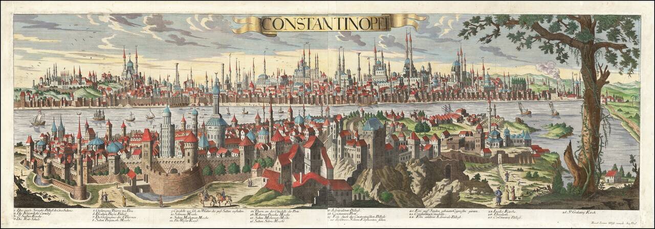
Rare, Highly Detailed View of Sixteenth-Century Istanbul
This exceptional view of Constantinople (Istanbul) was published by Jeremiah Wolff, the most successful map publisher in Augsburg during his time. It is sumptuously detailed and includes the locations of over twenty historic points of interest.
The scene gazes across the Golden Horn, the main inlet of the Bosphorous, with the Pera (Beyoglu) and Galata (Karakoy) neighborhoods situated in the foreground. Old Istanbul is in the background. Old Istanbul, also referred to as the “Historic Peninsula” or “Walled City” was the site of the ancient city of Byzantium and of historic Constantinople.
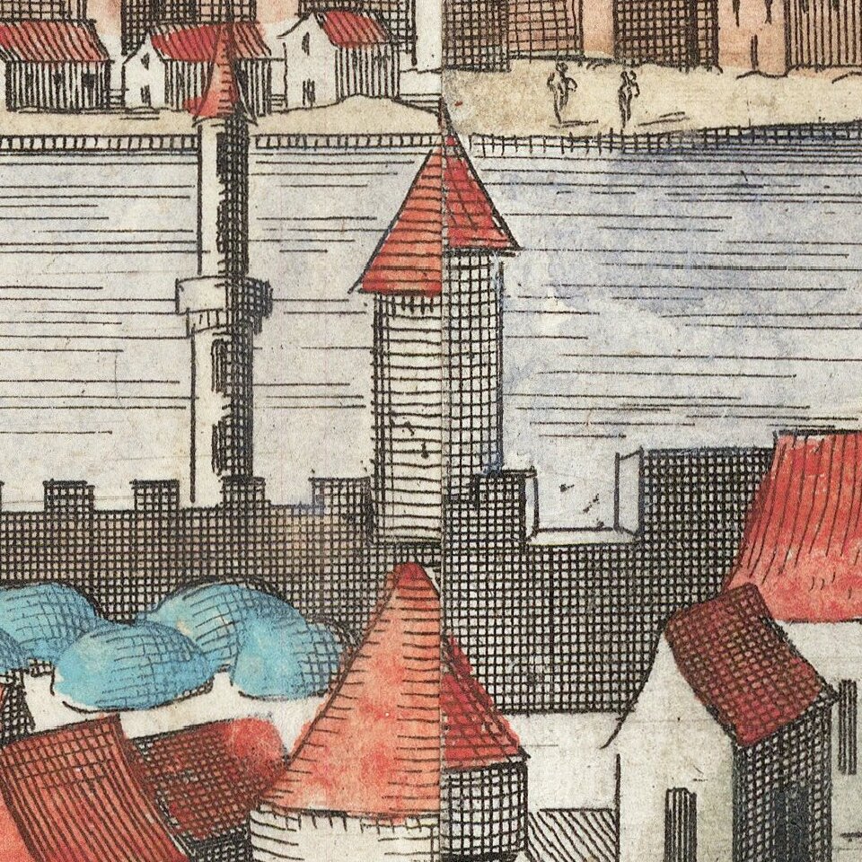
The view is embellished with sailing ships and elegantly costumed locals in the foreground. A shipyard can be seen on the banks of Old Istanbul toward the left side of the scene, evidence of the thriving Ottoman shipbuilding industry in the seventeenth and eighteenth centuries. The Golden Horn, named for its horn-like shape, has long served as an important naturally-protected inlet for maritime activities. At the time this view was created, the Ottoman Navy was still powerful and there would have been a large merchant fleet in the waters near the city.
There are 26 points of interest noted in this view, each faithfully rendered by Wolff with close attention to detail. Many of these sites are religious institutions, including mosques and churches, as well as Istanbul’s numerous palaces and cultural sites. Istanbul is well known for its striking mixture of Byzantine and Ottoman architecture, evidenced in this view by the numerous domed structures and sprawling palaces. Created at the height of Ottoman imperial rule in Istanbul, the points of interest noted on this view primarily discuss architecture and places that would of interest to a European audience intrigued by the Ottoman Empire.
At far left of the scene, Topkapi Palace can be seen at the edge of Old Istanbul. It is referred to on this view as, “The large Seraglio (harem), palace of the Great Sultans.” In the fifteenth century, it served as the main residence and administrative headquarters of the Ottoman sultanate and continued to be in use by the Ottoman imperial court for a number of centuries.
The Hagia Sophia, referred to on this view as St. Sophia Kirche (Church), is located to the right of Topkapi Palace, rising above the surrounding buildings. Its iconic dome and dual towers can be clearly seen. It is interesting that the Hagia Sophia is described as a church on this view, when it had been a mosque since 1453, after Sultan Mehmed II captured the city from the Byzantine Empire and declared it the new capital of the Ottoman Empire.
Other religious sites include the Church of Galata, the oldest of Istanbul’s Armenian churches, the Chora Church (“Iacob’s Kirche”), as well as such famous mosques as the Bayezid II Mosque (“Sultan Bajazeth Mosche”), Süleymaniye Mosque (“Soliman’s Mosche”), Sultan Ahmed Mosque (“Sultan Mahomet’s Mosche”), Fatih Mosque (“Sultan Mehemet’s Mosche”), Yavuz Selim Mosque (“Sultan Selim’s Mosche”), and Rüstem Pasha Mosque (“Mahomet Bascha Mosche”).
Beyond religious architecture, Wolff notes the “place where the Sultan’s elephants are kept” and the “citadel for the Sultan’s wise advisors” as well as the public waterworks and the Basilica Cistern, the largest Byzantine cistern, described as “columns built atop a cypress grove.” These more colorful places of interest help paint a fascinating picture of the Ottoman Empire through the eyes of Europeans.
This enchanting view of Istanbul is a rare find and exceptional piece of art.
If you are a student, write to us in telegram: @antiquemaps and indicate what material you need and for what work you need a map in high detail. We are ready to provide material on special terms. For students only!
![[Facsimile - 15th Century Portolan Sea Chart] Portolan des Iehuda ben Zara](/map/small/64285.jpg)