logo

1854. Colton's Map of the United States including Canada and a large portion of Texas. Showing the Base Meridian and Township Lines of the U.S. Surveys, the Lands allotted to the Indian Tribes west of the Mississippi. The Various Internal Improvements &c. Compi

  • Colton's Map of the United States including Canada and a large portion of Texas. Showing the Base Meridian and Township Lines of the U.S. Surveys, the Lands allotted to the Indian Tribes west of the Mississippi. The Various Internal Improvements &c. Compi

Colton's Map of the United States including Canada and a large portion of Texas. Showing the Base Meridian and Township Lines of the U.S. Surveys, the Lands allotted to the Indian Tribes west of the Mississippi. The Various Internal Improvements &c. Compi information:

Year of creation: 
Resolution size (pixels): 
 43352x35274 px
Disk Size: 
 492.284MiB
Number of pages: 
 1
Place: 
 New York
Author: 

Print information. Print size (Width x height in inches):
Printing at 72 dpi 
  602.11 х 489.92
Printing at 150 dpi 
 289.01 х 235.16
Printing at 300 dpi 
 144.51 х 117.58

An example of detailing the file of this map of in a printable high-resolution:

Click to open in high resolution (open in new tab).
Attention! this is just the central piece (central area 960x960 px) of the map file!
This is an example, so that you can see and study the level of detail of a given map. The entire Map will be fully available after payment!

Colton's Map of the United States including Canada and a large portion of Texas. Showing the Base Meridian and Township Lines of the U.S. Surveys, the Lands allotted to the Indian Tribes west of the Mississippi. The Various Internal Improvements &c. Compi

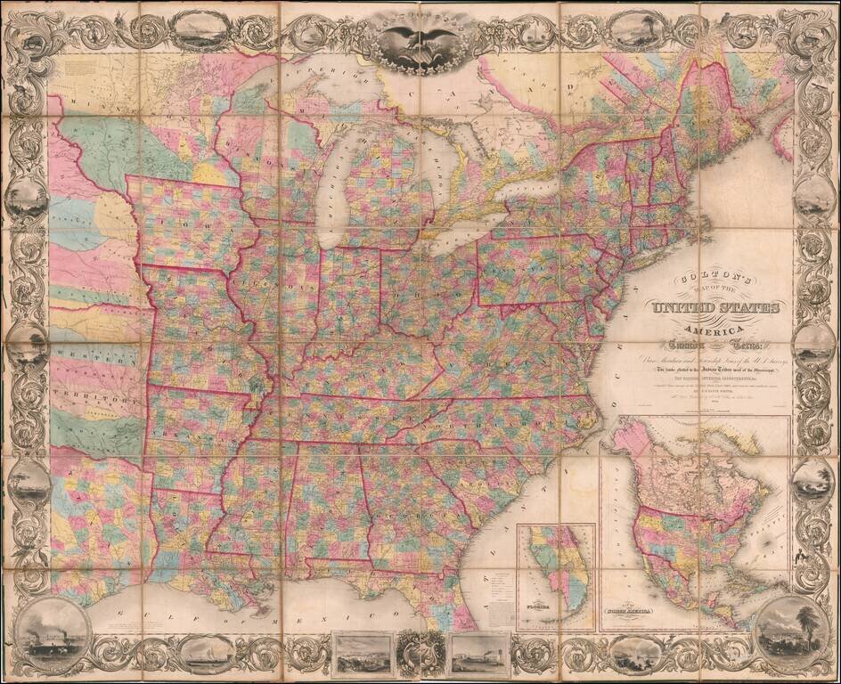
Monumental Wall Map of The United States

Excellent example of J Calvin Smith's wall map of the United States, one of the largest regularly published maps of the United States issued in the 19th Century.

In the west, a massive Minnesota Territory extends to the Missouri River, with a very large Dakota County shown. A large part of Texas is also shown.

Nebraska Territory extends to the Canadian Border, with a number of large Indian Reservations shown, including:

  • Titonwans
  • Poncas
  • Omahas
  • Panwnees
  • Ottoes
  • Menomenies, Winnebagoes, Foxes & Sauks,
  • Delawares
  • Kansas
  • Smaller tribal areas concentrated in the southeast corner.

Below Nebraska Territory is a massive "Western Territory," including:

  • Shawnees
  • Putawatomies,
  • Propose Chippeways & Putawatomies
  • Proposed For The New York Indians
  • Osages
  • Cherokee Land
  • Creeks
  • Seminoles
  • Choctawas
  • Chicasaws

Includes large insets of North America and Florida.

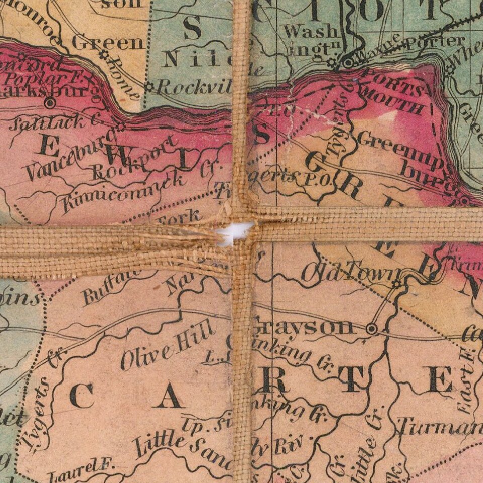
The border vignettes include city views of New York, Baltimore, Philadelphia, Washington, etc., pastoral scenes, and more.

Provenance: Warren Heckrotte sale, 2016; Maggs, August 1975.


Special conditions for students!

If you are a student, write to us in telegram: @antiquemaps and indicate what material you need and for what work you need a map in high detail. We are ready to provide material on special terms. For students only!

Item information:

Year of creation:
Size:
43352x35274 px
Disk:
492.284MiB
Number of pages:
1
Place:
New York
Author:
J. Calvin Smith.
$29.99

Related item