logo

1948. City of Hot Springs Garland County Arkansas 1948

  • City of Hot Springs  Garland County Arkansas 1948

City of Hot Springs Garland County Arkansas 1948 information:

Year of creation: 
Resolution size (pixels): 
 11227x14307 px
Disk Size: 
 32.771MiB
Number of pages: 
 1
Place: 
 Hot Springs, AR
Author: 

Print information. Print size (Width x height in inches):
Printing at 72 dpi 
  155.93 х 198.71
Printing at 150 dpi 
 74.85 х 95.38
Printing at 300 dpi 
 37.42 х 47.69

An example of detailing the file of this map of in a printable high-resolution:

Click to open in high resolution (open in new tab).
Attention! this is just the central piece (central area 960x960 px) of the map file!
This is an example, so that you can see and study the level of detail of a given map. The entire Map will be fully available after payment!

City of Hot Springs  Garland County Arkansas 1948

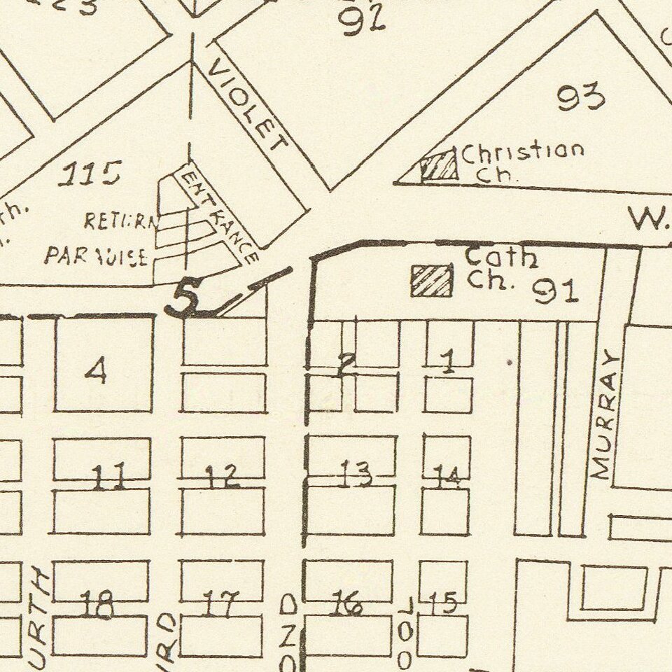
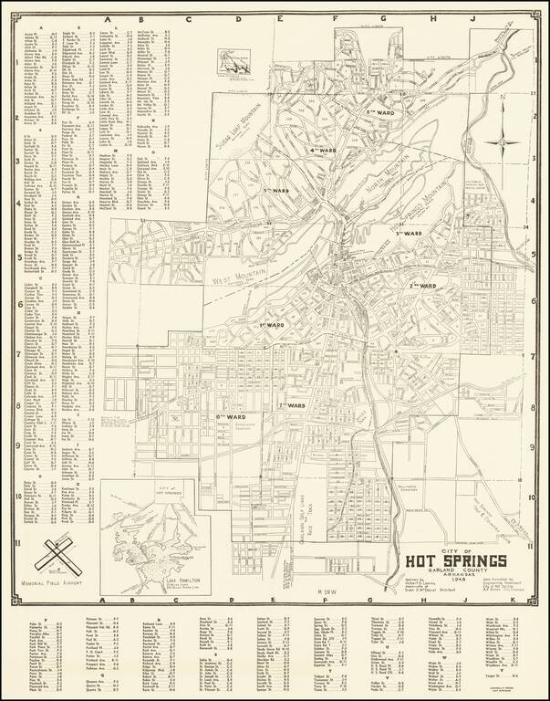
Detailed map of Hot Springs Arkansas, drawn by Robert S. Lowrey from data furnished by the City Engineer.


Special conditions for students!

If you are a student, write to us in telegram: @antiquemaps and indicate what material you need and for what work you need a map in high detail. We are ready to provide material on special terms. For students only!

Item information:

Year of creation:
Size:
11227x14307 px
Disk:
32.771MiB
Number of pages:
1
Place:
Hot Springs, AR
Author:
Robert S. Lowrey.
$14.99

Related item