Map size in jpg-format: 8.7996MiB
Click to open in high resolution (open in new tab).
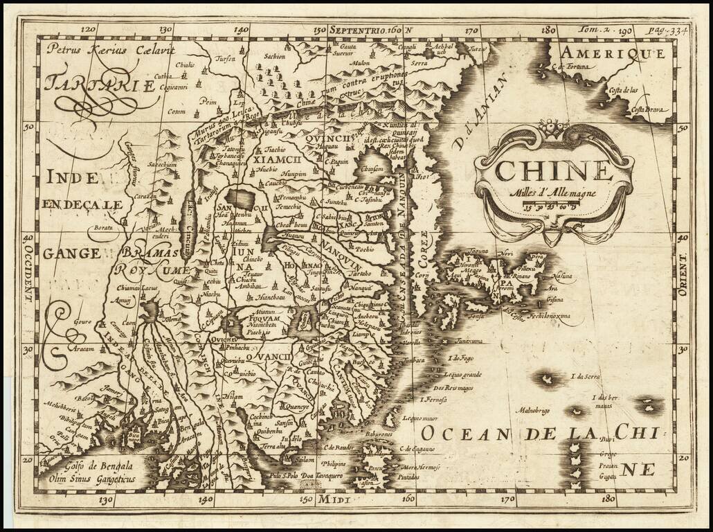
A Rare Variant!
Rare early map of China, published by Martineau du Plessis in Paris.
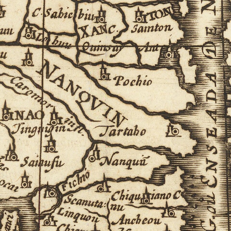
The map is printed from a copper plate originally engraved by Petrus Kaerius (Peter Vander Keere) Johannes Cloppenburg's Atlas Sive Cosmographie in 1730. This state of the map has been extensively re-worked for Martineau du Plessis's Nouvelle Geographie. Most obvious are the change in the title (to the French spelling of China) and the modification to show Korea as a peninsula, not as an island.
Rarity
This is the first time we have offered the map for sale in more than 20 years.
If you are a student, write to us in telegram: @antiquemaps and indicate what material you need and for what work you need a map in high detail. We are ready to provide material on special terms. For students only!
![[Martin Behaim Globe / Book] Pars Globi terrestris Ao. 1492 a Martino Behaim Equite Lusitano Norimbergae confecti Delineavit Christoph. Theoph de Murr 1778 (bound with:) Diplomatische Geschichte des Portugesischen berühmten Ritters Martin Behaims](/map/small/68828.jpg)
![Il Disegno Della Terza Parte Dell' Asia [Gastaldi's Wall Map of SE Asia with extra panels!]](/map/small/30554hbp.jpg)
![Chinae, olim Sinarum regionis nova descriptio. auctore Ludouico Georgio. [English Edition!]](/map/small/71123.jpg)