Map size in jpg-format: 71.678MiB
Click to open in high resolution (open in new tab).
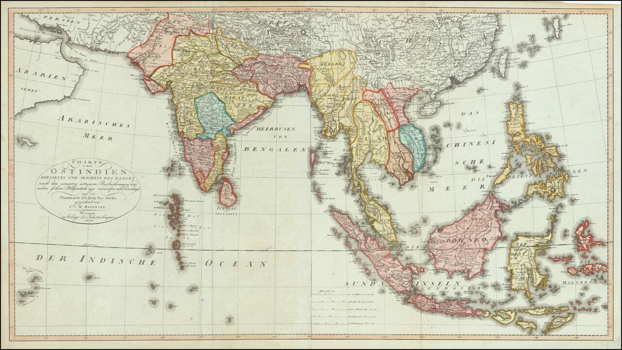
Fine, Rare German Map of South and Southeast Asia
Sharply-executed map of the Indian Ocean and Western Pacific regions, encompassing the Indian subcontinent, Mainland Southeast Asia, Indonesia, Malaysia, the Moluccas, and the Philippines.
The map is subdivided into political units, including Bengal, Siam, Cambodia and others. The landmasses are finely-drawn, with the exception of the Maldives, which are greatly exaggerated in size and number.
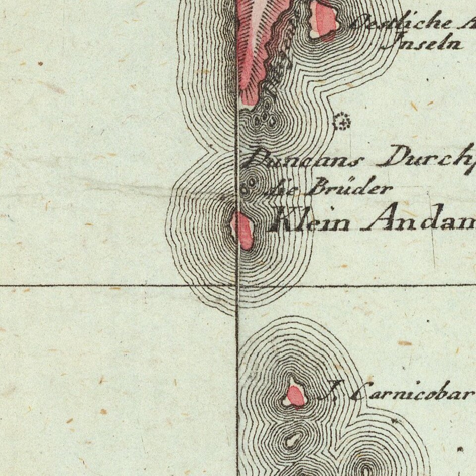
Islands are ringed by a series of lines, suggesting depth, but, in reality, they are a decorative embellishment. The scale, at lower right, contains five bars, which offer scales in German and English, but also Indian and Chinese measurements.
The title, in a simple oval in the eastern Indian Ocean, explains that this map was drawn according to the latest observations and designed at the Seeberg Observatory in Gotha, Germany. First planned in 1797, by 1800, when this map was made, the observatory was already an internationally-renowned center of study. It was considered ultra-modern based on its state-of-the-art instruments, which had been acquired in London and, later, Munich. This was likely one of the first maps produced from the observatory’s researchers.
This 1800 edition is scarcer than the 1804 re-issue, but both items are rare on the market.
Johann Christoph Matthias Reinecke (1768-1818) was a German scientist. He worked in a variety of fields, most notably cartography and paleontology. A true polymath, he spoke eight languages and also wrote poems and songs. He produced a variety of maps in his career, including a series for the Geographical Institute in Weimar.
If you are a student, write to us in telegram: @antiquemaps and indicate what material you need and for what work you need a map in high detail. We are ready to provide material on special terms. For students only!

![Il Disegno Della Terza Parte Dell' Asia [Gastaldi's Wall Map of SE Asia with extra panels!]](/map/small/30554hbp.jpg)
