logo

1800. Charte der neuen Niedelassungen in Ober Canada nach der Smythschen Charte reduvirt van I.C.M.R. 1800

  • Charte der neuen Niedelassungen in Ober Canada nach der Smythschen Charte reduvirt van I.C.M.R. 1800

Charte der neuen Niedelassungen in Ober Canada nach der Smythschen Charte reduvirt van I.C.M.R. 1800 information:

Year of creation: 
Resolution size (pixels): 
 8238x5296 px
Disk Size: 
 9.9435MiB
Number of pages: 
 1
Place: 
 Weimar
Author: 

Print information. Print size (Width x height in inches):
Printing at 72 dpi 
  114.42 х 73.56
Printing at 150 dpi 
 54.92 х 35.31
Printing at 300 dpi 
 27.46 х 17.65

An example of detailing the file of this map of in a printable high-resolution:

Click to open in high resolution (open in new tab).
Attention! this is just the central piece (central area 960x960 px) of the map file!
This is an example, so that you can see and study the level of detail of a given map. The entire Map will be fully available after payment!

Charte der neuen Niedelassungen in Ober Canada nach der Smythschen Charte reduvirt van I.C.M.R. 1800

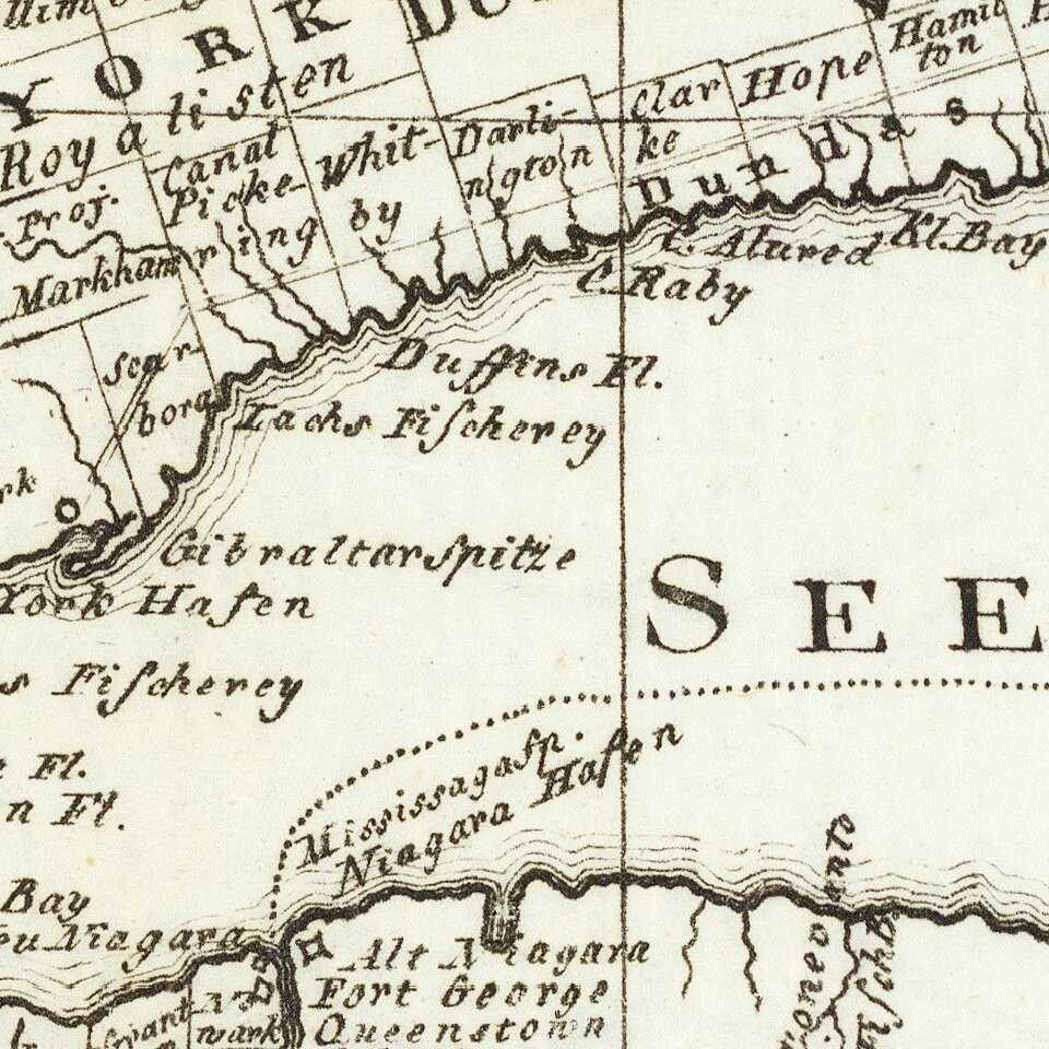
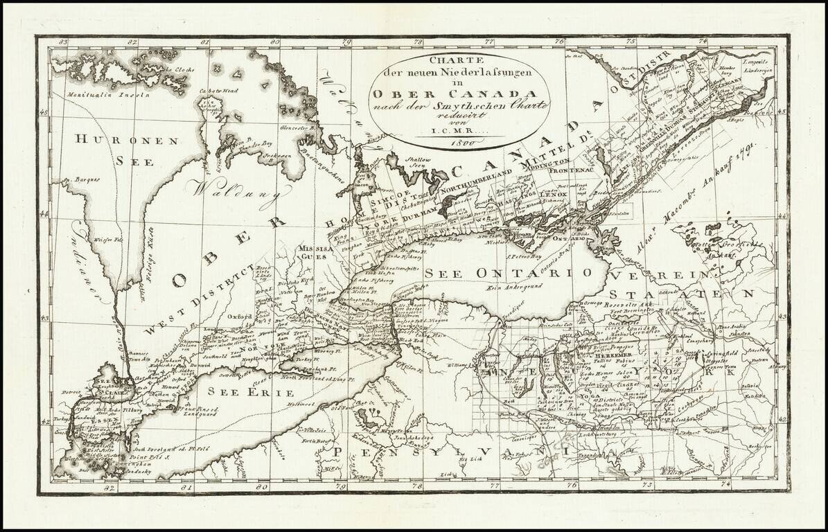
Rare Weimar edition of David William Smyth's map of Ontario.

David William Smyth was the province's surveyor general of Canada, who produced A Map of the Province of Upper Canada, describing all the new settlements, townships &c. (London: William Faden, 1800), which was the most important and detailed map of the region produced to date.


Special conditions for students!

If you are a student, write to us in telegram: @antiquemaps and indicate what material you need and for what work you need a map in high detail. We are ready to provide material on special terms. For students only!

Item information:

Year of creation:
Size:
8238x5296 px
Disk:
9.9435MiB
Number of pages:
1
Place:
Weimar
Author:
I.C.M.R..
$14.99

Related item