Map size in jpg-format: 2105960B
Click to open in high resolution (open in new tab).
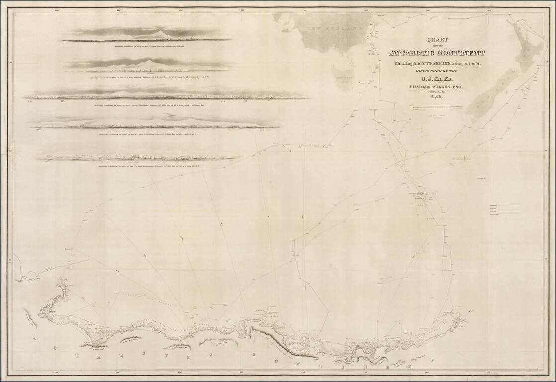
A good example of the Wilkes map of the Antarctic Regions, which accompanied the official account of Wilkes Expedition.
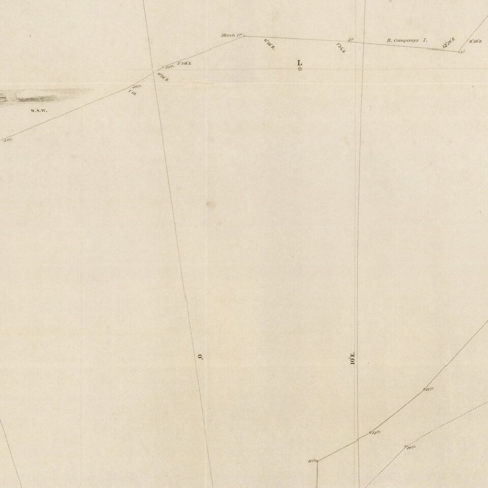
The map includes the tracks of Wilkes' expedition, 5 profile views and an outline map of New Zealand and the Southern Tip of Australia.
Charles Wilkes led an important early American exploring expedition conducted almost exclusively at sea. The expedition had numerous accomplishments to its credit, including mapping nearly three hundred islands, a thorough exploration of the American Northwest Coast, and establishing the true nature of Antarctica as a continent. Other scientific works arising from the voyage followed in later years.
Despite the problems caused by Wilkes's infamous temper, the expedition was a highly successful circumnavigation. "The United States equivalent to the voyages of James Cook, Jean François Galaup de Lapérouse, Alejandro Malaspina, and Ivan Fedorovich Kruzenshtern for England, France, Spain, and Russia, and the maritime equivalent of Lewis and Clark" (W. Michael Mathes).
The large format editions of Wilkes' 1845 Narrative are quite rare. The atlas was printed in an edition of 150 copies supplied to Wilkes for presentation and sale and an official edition of 1844, which was printed in 100 copies, of which 25 were destroyed by fire.
If you are a student, write to us in telegram: @antiquemaps and indicate what material you need and for what work you need a map in high detail. We are ready to provide material on special terms. For students only!
![[Eastern Hemisphere Globe Gores] (Nova et integra universi Orbis descriptio)](/map/small/54480.jpg)

