Map size in jpg-format: 88.2529MiB
Click to open in high resolution (open in new tab).
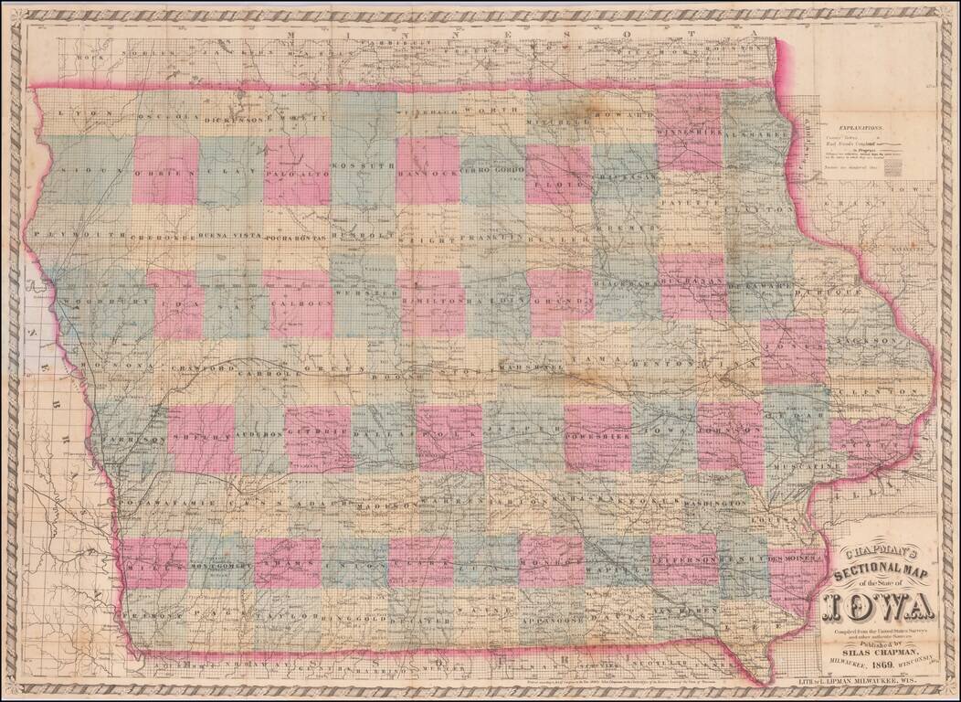
Rare separately published antique map of Iowa, published in Milwaukee by Silas Chapman.
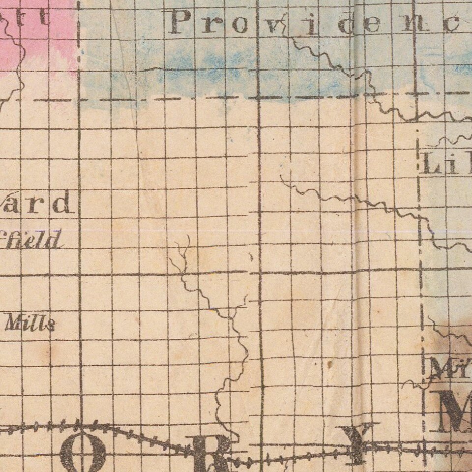
The map is colored by counties and shows township surveys, county towns, completed railroads, railroads in progress and other details.
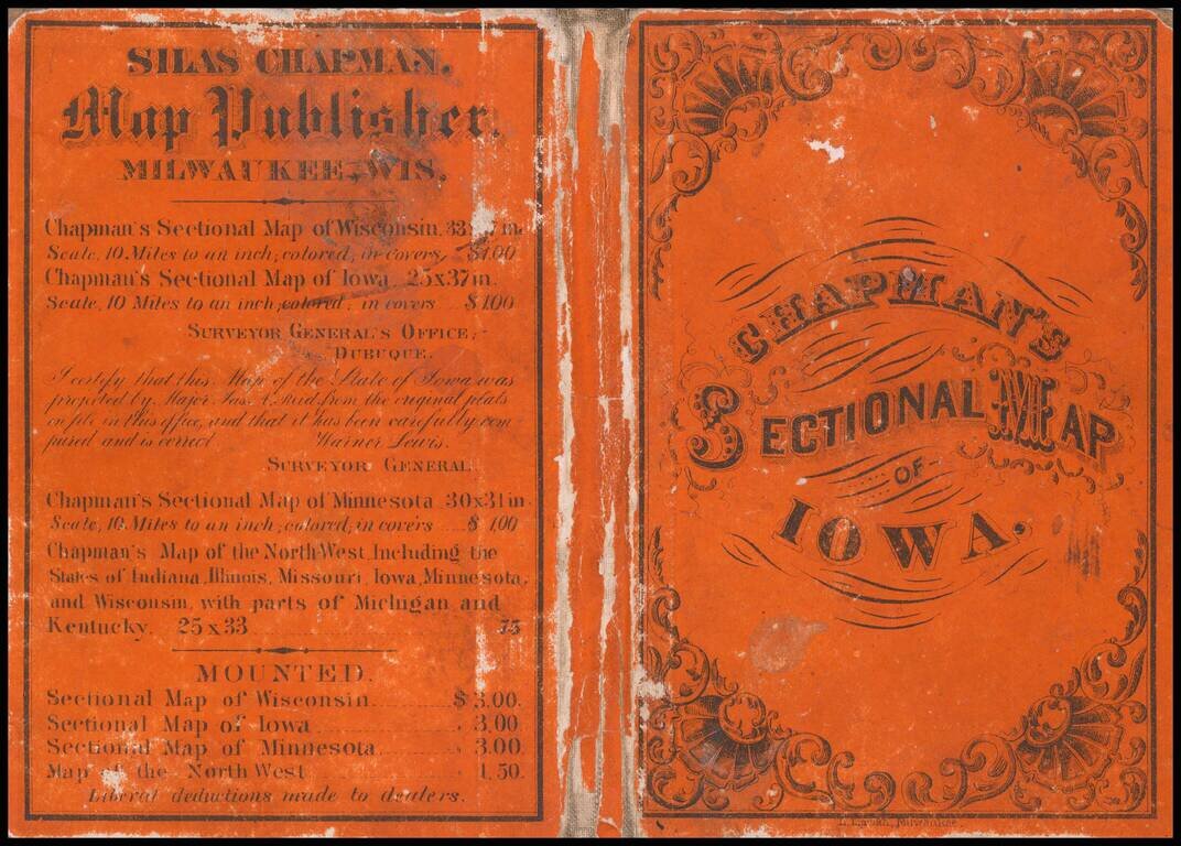
Chapman began offering maps of Iowa in about 1856. This edition was first issued in 1864. While earlier editions appear on the market occasionally, this is the first example of the 1869 we have ever seen.
If you are a student, write to us in telegram: @antiquemaps and indicate what material you need and for what work you need a map in high detail. We are ready to provide material on special terms. For students only!

![Amer. Sep. No. 49. Partie des États Unis [Missouri, Illinois, Indian Territory, Kansas, Nebraska, Iowa]](/map/small/22888.jpg)