Map size in jpg-format: 1.51043MiB
Click to open in high resolution (open in new tab).
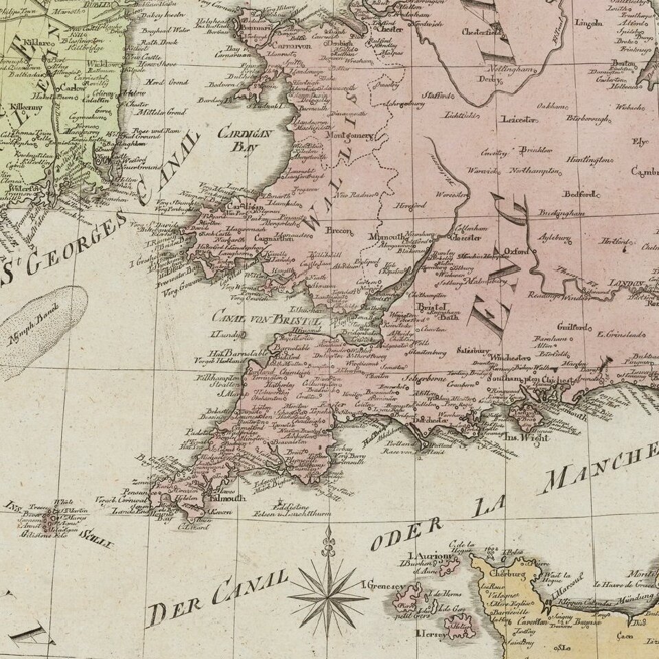
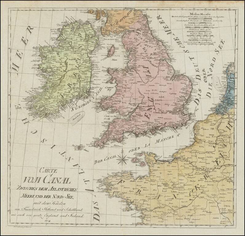
Rare chart of the British Isles, published in Hannover in 1804.
The map exhibits a unique cartographic style.
If you are a student, write to us in telegram: @antiquemaps and indicate what material you need and for what work you need a map in high detail. We are ready to provide material on special terms. For students only!


