Map size in jpg-format: 35.5038MiB
Click to open in high resolution (open in new tab).

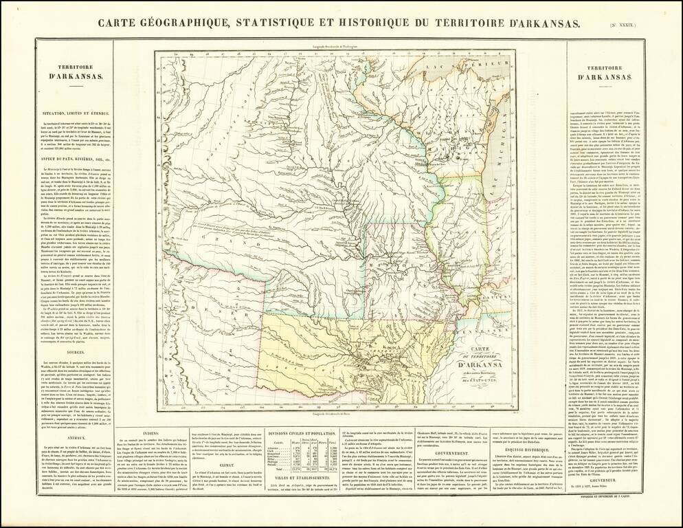
French edition of Stephen Long's seminal map of the region drained by the Arkansas, Kansas, Missouri and Mississippi Rivers, one of the most important maps of the American West.
Stephen H. Long led a government expedition to the Rocky Mountains in 1819 and 1820. Following on the heals of the Lewis & Clark expedition, it is generally regarded as one of the most important early overland expeditions. While the map was produced by Long, the report of the expedition was written by Edwin James, the botanist who accompanied Long. Other members of the expedition were Thomas Say, a naturalist and entomologist, and Titian Peale, a draughtsman.
The report and map are among the most important post 1800 works on the West. The map which accompanied the report was first issued by Carey & Lea in their Atlas of 1822, which preceded Carey & Lea's publication of the James map in 1823. It was not uncommon for cartographic information to appear first in commercial atlases before publication of official reports. However this is one of the few instances where the map itself also appeared before the book. Wheat noted that the map represented a distinct step forward in the mapping of the West, the first to use the term Great American Desert. It corrected many errors, primarily the course of the Red River, and the corrections to the eastern slope of the Rocky Mountains. HS Tanner also spoke highly of the map in his 1823 geographical memoir.
This is the French edition of the map, issued in Buchon's Atlas of America.
If you are a student, write to us in telegram: @antiquemaps and indicate what material you need and for what work you need a map in high detail. We are ready to provide material on special terms. For students only!