
Map size in jpg-format: 26.8147MiB
Click to open in high resolution (open in new tab).
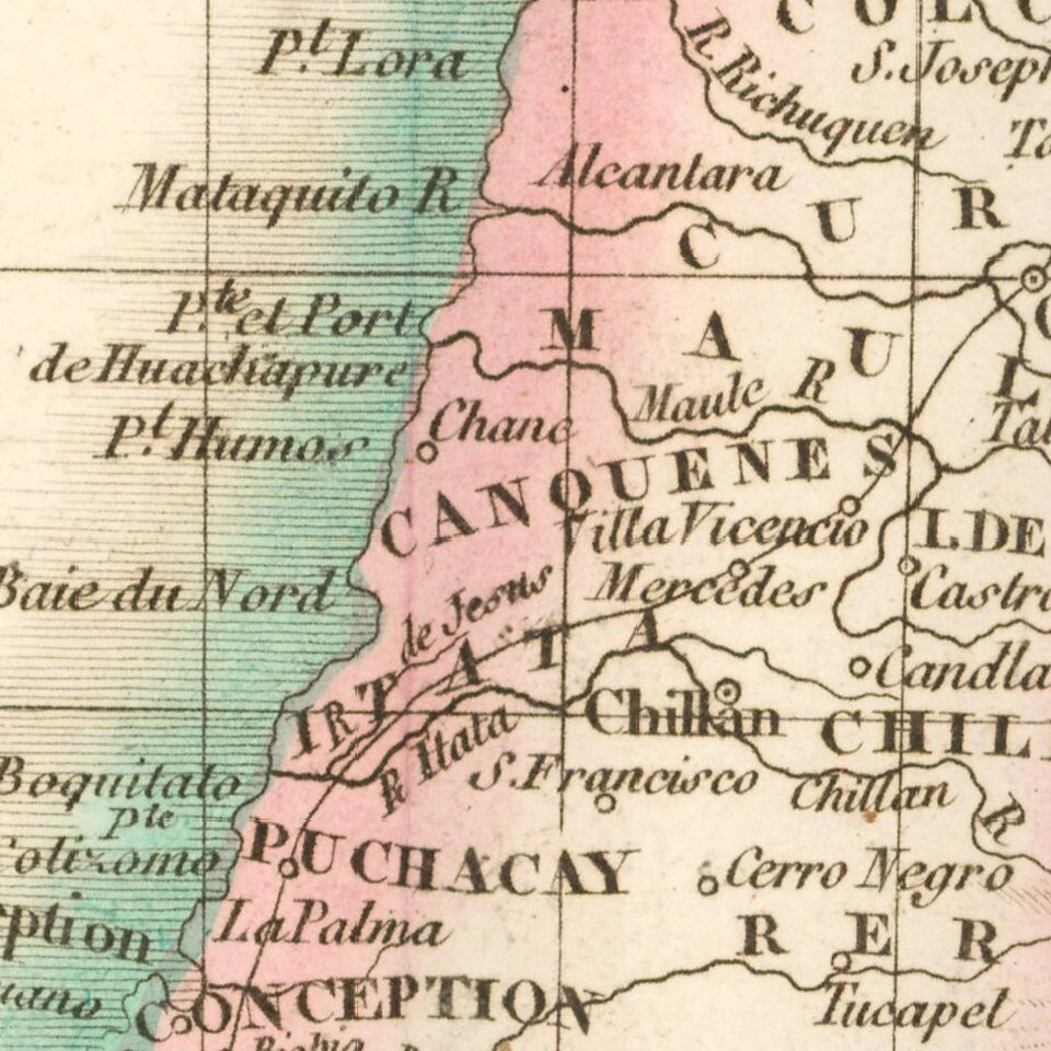
Chile on the Eve of Complete Independence
Nice example of Buchon's map of Chile, published in Paris in 1825, the year before last Spanish troops surrendered and the Chiloé Archipelago was incorporated into the Chilean Republic.
The map covers Chile and some of Patagonia below, providing excellent detail in a region for which the maps were still very incomplete and inaccurate, especially in the southern regions of the country.
Overall plate size is 24 x 17 inches, surrounded by text describing the state, its population, governors, religion, education, commerce, climate topography and other details.
Jean Alexandre Buchon (1791-1849) was a French scholar and historian. Born as the French Revolution raged, Buchon was dedicated to recovering France’s history in order to help the country heal and grow. He gathered French stories and published them as part of Collection des chroniques nationales franciases ecrites en langue vulgaire, du XIe au XVIe siècle (4 vols, 1824-1829). He also compiled and published an exploration collection and several histories, particularly about medieval France.
For geography, his most important contribution was publication of the French edition of Carey & Lea’s American Atlas in 1825. Each page of the atlas includes highly detailed text about the state or territory depicted, as well as a map of the area. The French edition is generally considered in high regard as compared to other editions, as it has quality paper and superior engraving.
If you are a student, write to us in telegram: @antiquemaps and indicate what material you need and for what work you need a map in high detail. We are ready to provide material on special terms. For students only!


![[Signed Political Satire Artwork] Vietnam ... Vietnam ... Vietnam ...](/map/small/68726.jpg)