Map size in jpg-format: 7.97759MiB
Click to open in high resolution (open in new tab).
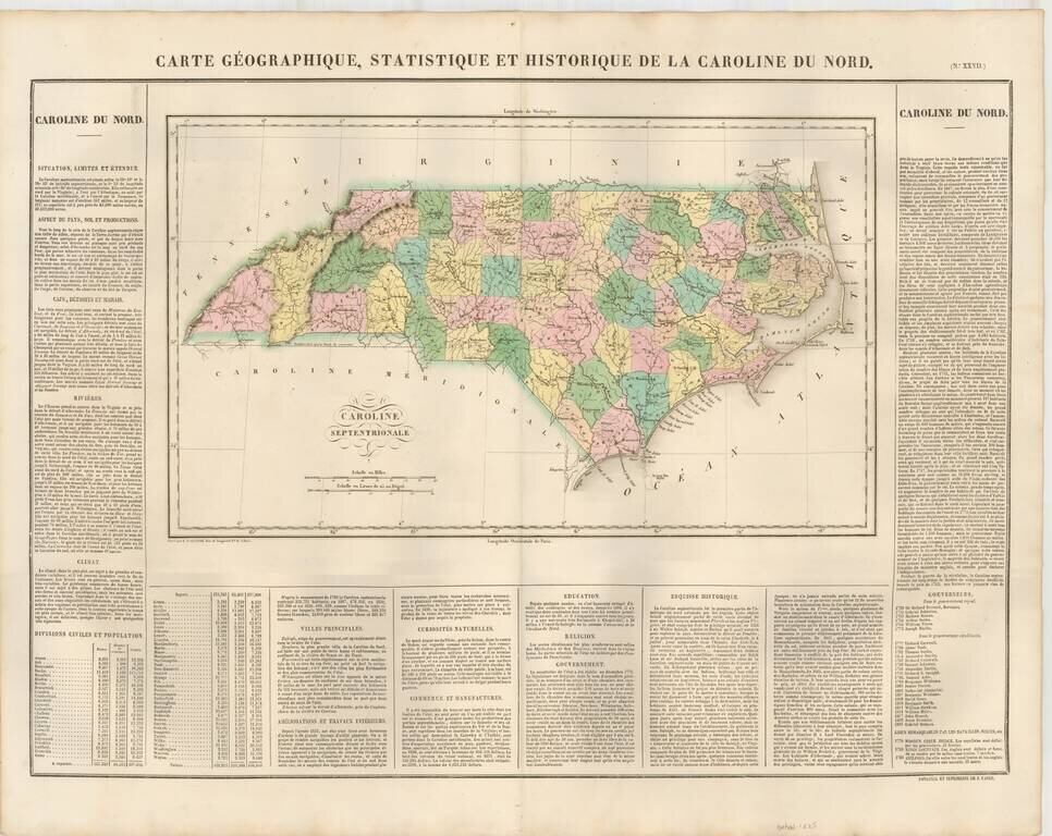
The First Map of North Carolina published in France
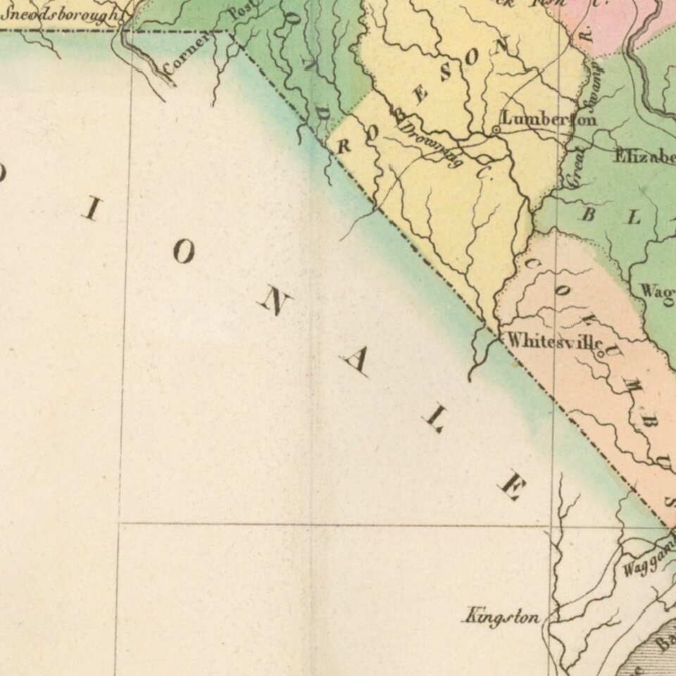
Attractive map, colored by county and showing the various towns, roads, rivers, bridges, and a host of other details.
Overall plate size is 24x17 inches, surrounded by text describing the state, its population, governors, religion, education, commerce, climate topography and other details.
From the French edition of Carey & Lea's American Atlas. A gorgeous example. The French edition is known for being a superior work, using better paper and a superior engraving technique.
Jean Alexandre Buchon (1791-1849) was a French scholar and historian. Born as the French Revolution raged, Buchon was dedicated to recovering France’s history in order to help the country heal and grow. He gathered French stories and published them as part of Collection des chroniques nationales franciases ecrites en langue vulgaire, du XIe au XVIe siècle (4 vols, 1824-1829). He also compiled and published an exploration collection and several histories, particularly about medieval France.
For geography, his most important contribution was publication of the French edition of Carey & Lea’s American Atlas in 1825. Each page of the atlas includes highly detailed text about the state or territory depicted, as well as a map of the area. The French edition is generally considered in high regard as compared to other editions, as it has quality paper and superior engraving.
If you are a student, write to us in telegram: @antiquemaps and indicate what material you need and for what work you need a map in high detail. We are ready to provide material on special terms. For students only!
![The United States of North America with the British Territories And Those of Spain, according to the Treaty of 1784 . . . 1793 [shows Franklinia!]](/map/small/64978.jpg)

