
Map size in jpg-format: 29.3115MiB
Click to open in high resolution (open in new tab).
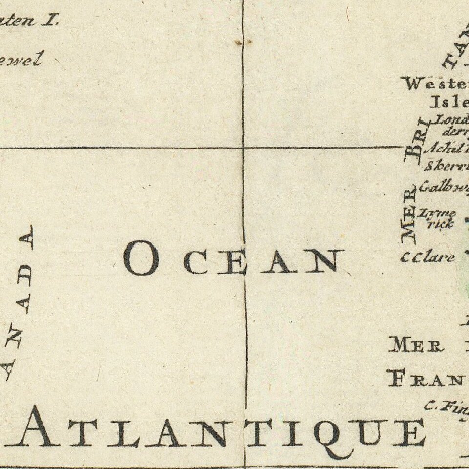
Striking example of Covens & Mortier's map of the World, showing California as an island.
Five additional spheres across the top of the map illustrate night and day; the earth without water; the phases of the moon, and the eastern and western hemispheres. The American portion of the map is almost portolan style in its location of place names. The map is rich with cartographic misconceptions. California is an island, there is a wonderful wide Northwest Passage and Northeast Passage, the straits of Anian are shown, along with a strait of land coming from Asia in the Terra Iesso style.
New Zealand is partially mapped, as is Australia, reflecting only the discoveries of Abel Tasman.
A marvelous compendium of 17th Century Cartographic knowledge, in gorgeous color.
If you are a student, write to us in telegram: @antiquemaps and indicate what material you need and for what work you need a map in high detail. We are ready to provide material on special terms. For students only!


