Map size in jpg-format: 26.5915MiB
Click to open in high resolution (open in new tab).
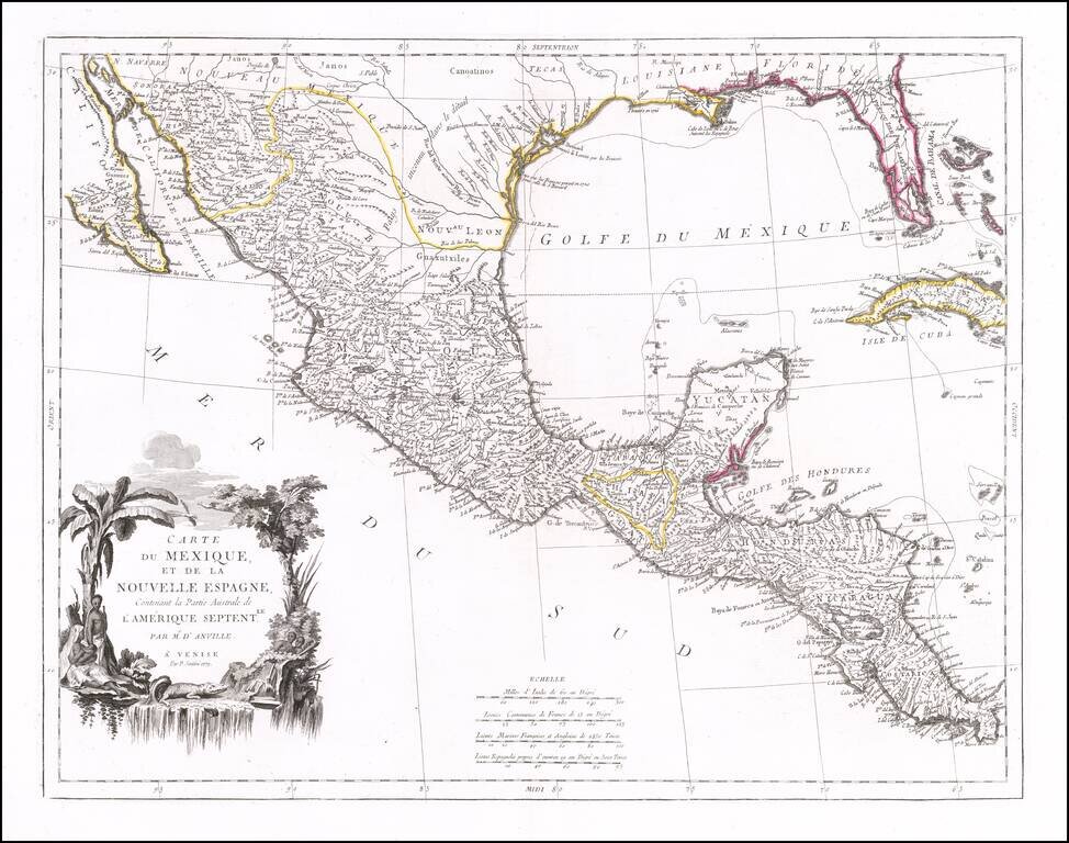
Striking map of Mexico, Texas and the Gulf Coast, including Florida, published in Venice.
The map notes that it is based upon the work of J.B.B. D'Anville. Texas is named, with references to La Salle's visit to the region in 1685.
Florida is shown as an Archipelago.
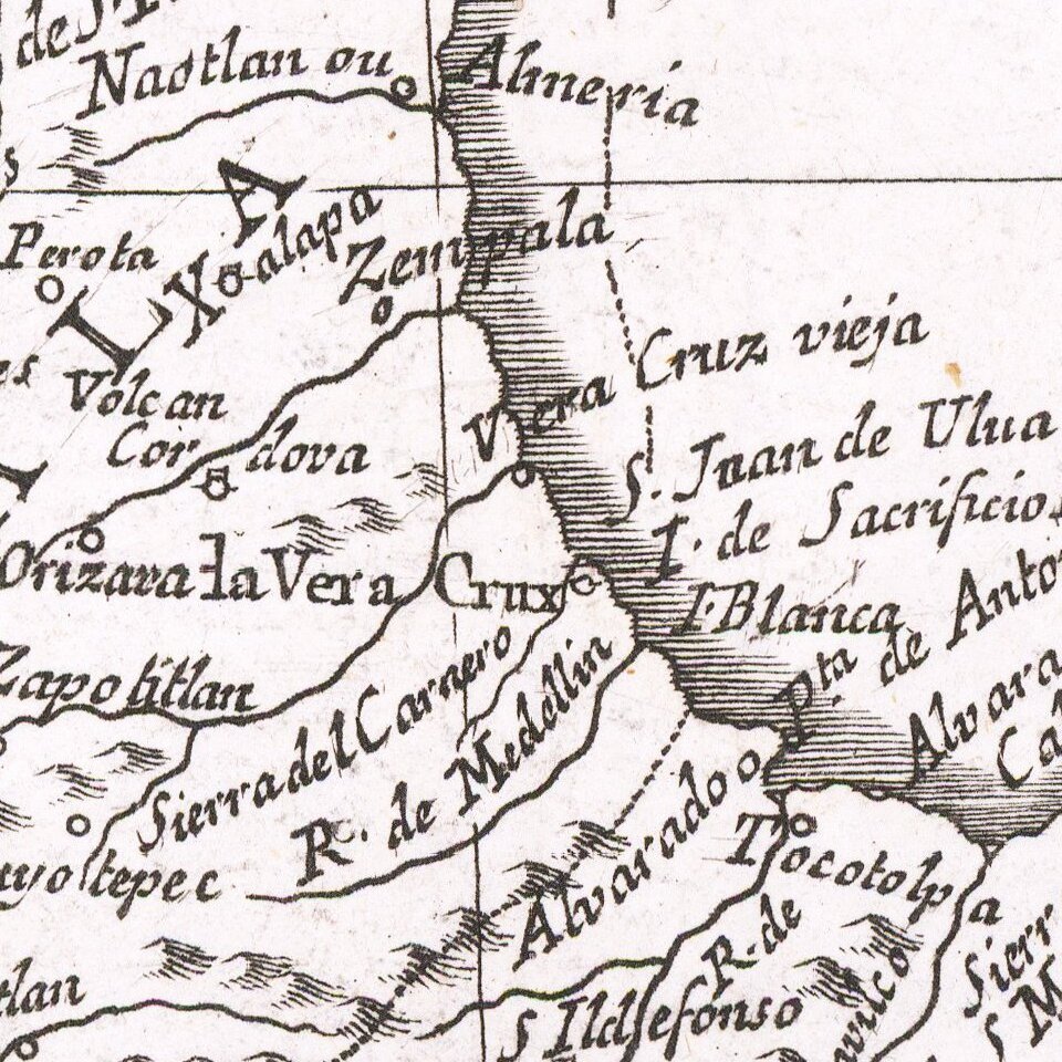
Significant detail in Mexico and some detail in the interior of the southern part of Baja California.
Paolo Santini (1729-1793) was an Venetian engraver known especially for his religious prints and fine cartographic engravings. He published in Venice and may have a been a member of the clergy. In his maps, he largely adopted and adapted the work of his French counterparts, especially the brothers de Vaugondy.
If you are a student, write to us in telegram: @antiquemaps and indicate what material you need and for what work you need a map in high detail. We are ready to provide material on special terms. For students only!

![[Wall Map] West-Indische Paskaert waer in de graden der breedde over weder zyden vande middelyn wassende so vergrooten dat die geproportioneert syn tegen hunne nevenstaende graden de lengde.](/map/small/60169.jpg)
