Map size in jpg-format: 32.7004MiB
Click to open in high resolution (open in new tab).
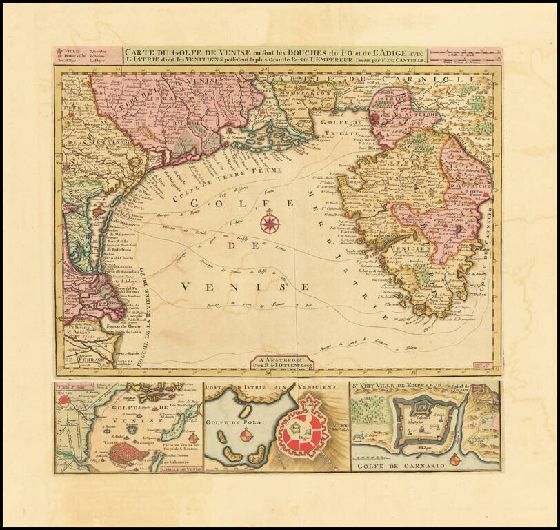
Fine Old Color Example
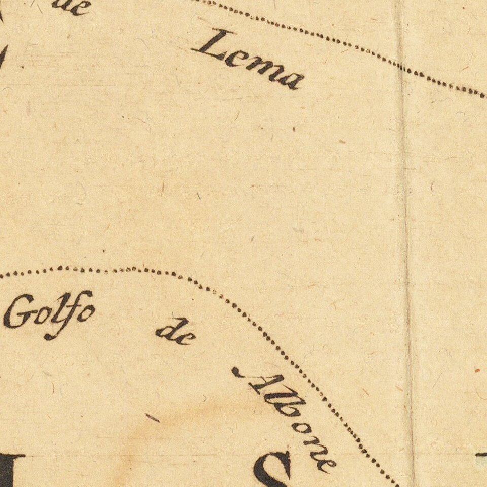
Finely executed chart of Istria and the Gulf of Venice, based upon an earlier map by Cantelli.
The map includes plans of the “Laguna” of Venice, the bay and town of Pula and the town of Rijeka below the chart representing the bottom margin.
The routes by sea across the Venetian Gulf are identified.
Rarity
The map is very rare on the market, especially in fine old color.
If you are a student, write to us in telegram: @antiquemaps and indicate what material you need and for what work you need a map in high detail. We are ready to provide material on special terms. For students only!