Map size in jpg-format: 66.9587MiB
Click to open in high resolution (open in new tab).
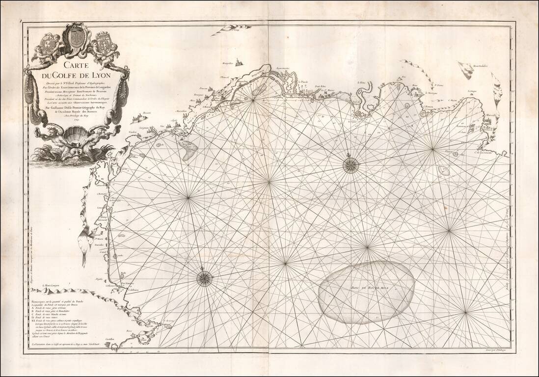
Very rare sea chart of the Gulf of Lyon, published in Paris by De L'Isle in 1725.
The chart extends from Roses and the Spanish border in the southwest to Marseilles and Cassis in the northeast, centered on the area of Montpellier
If you are a student, write to us in telegram: @antiquemaps and indicate what material you need and for what work you need a map in high detail. We are ready to provide material on special terms. For students only!
![Orange [Vauban Style Fortress]](/map/small/62043.jpg)
![Carte d'Etude [Study Map]](/map/small/66795.jpg)
