Map size in jpg-format: 39.0776MiB
Click to open in high resolution (open in new tab).
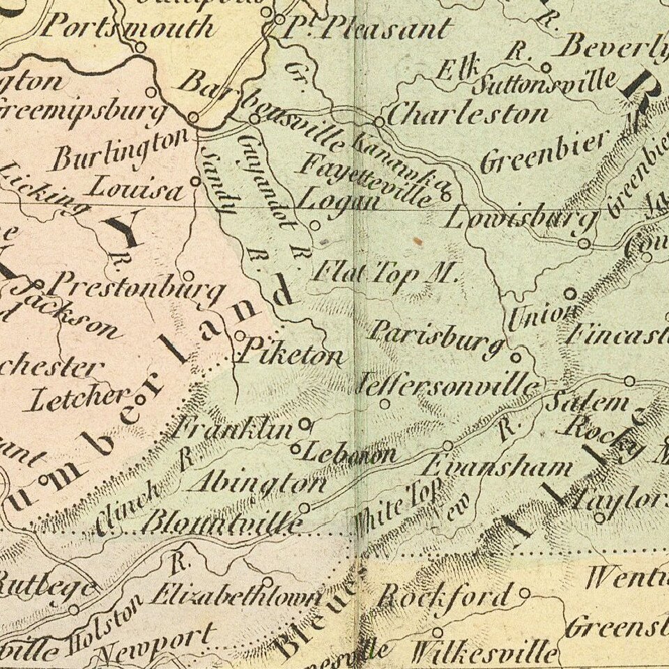
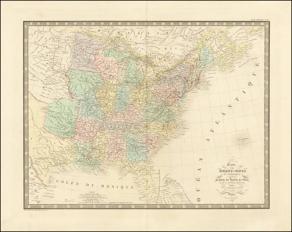
Detailed map of the US, extending west to include a large Texas and the Missouri River Valley.
Indian Territory is called "Terre. de l'Ouest".
Nice detail throughout the map, including Indian tribes, early railroad information, and other detail.
The early formation of a national railroad network can just be seen.
If you are a student, write to us in telegram: @antiquemaps and indicate what material you need and for what work you need a map in high detail. We are ready to provide material on special terms. For students only!

![[Signed Political Satire Artwork] Vietnam ... Vietnam ... Vietnam ...](/map/small/68726.jpg)
