Map size in jpg-format: 2.82586MiB
Click to open in high resolution (open in new tab).
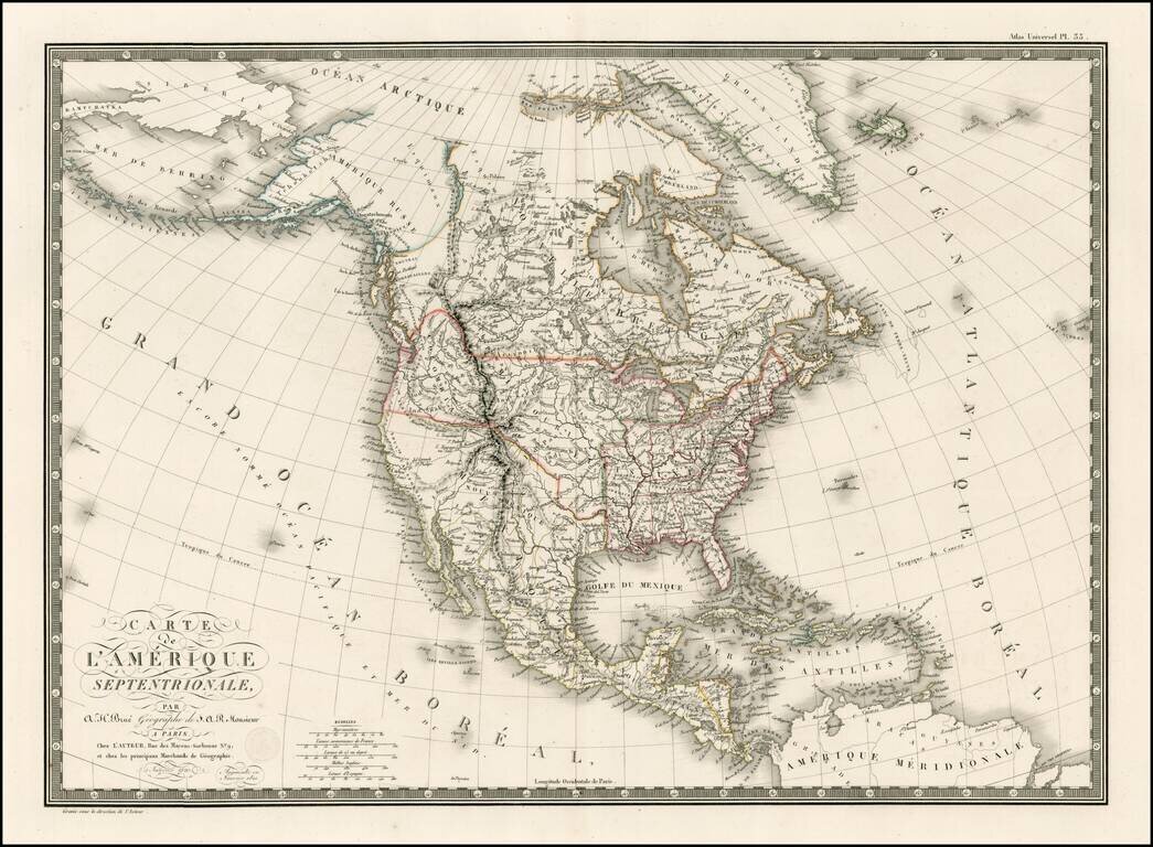
Tremendous map of North America, exhibiting early details of Lewis & Clark's expedition and up to date information on the search for a northwest passage.
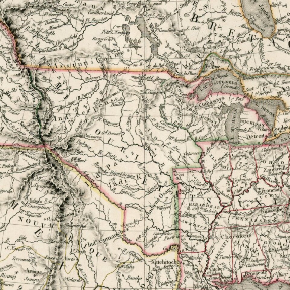
There are two Salt Lakes, each linked by Rivers to the Pacific Ocean and each other. Lots or early Indian detail and a fabulous treatment of the drainage system of the Upper Mississippi, Missouri and Columbia Rivers, likely one of the most advanced of the era. The region immediately west of the Mississippi retains the various Spanish regional names, including St. Louis, Cape Girardeau, Lawrence, etc. Missouri and Columbia Territories dominate the Western US claims. Early naming of the Yellowstone River.
California Missions are named.
Andre Hubert Brué was a French geographer and cartographer. Born in Paris, he served in the French Navy, joining the Baudin expedition to the Pacific (1800-1804). After his sea service, Brué applied his navigation and charting skills to creating finely-crafted maps, which were renowned for their crisp engraving and accuracy. He drew directly on the copper of the plate, creating what he called encyprotypes. He is best known for the Atlas universal de géographie physique, politique, ancienne et moderne.
If you are a student, write to us in telegram: @antiquemaps and indicate what material you need and for what work you need a map in high detail. We are ready to provide material on special terms. For students only!


![[Signed Political Satire Artwork] Vietnam ... Vietnam ... Vietnam ...](/map/small/68726.jpg)