logo

1785. Carte de la Terre Van-Diemen

  • Carte de la Terre Van-Diemen

Carte de la Terre Van-Diemen information:

Year of creation: 
Resolution size (pixels): 
 3001x1963 px
Disk Size: 
 882235B
Number of pages: 
 1
Place: 
 Paris
Author: 

Print information. Print size (Width x height in inches):
Printing at 72 dpi 
  41.68 х 27.26
Printing at 150 dpi 
 20.01 х 13.09
Printing at 300 dpi 
 10 х 6.54

An example of detailing the file of this map of in a printable high-resolution:

Click to open in high resolution (open in new tab).
Attention! this is just the central piece (central area 960x960 px) of the map file!
This is an example, so that you can see and study the level of detail of a given map. The entire Map will be fully available after payment!

Carte de la Terre Van-Diemen

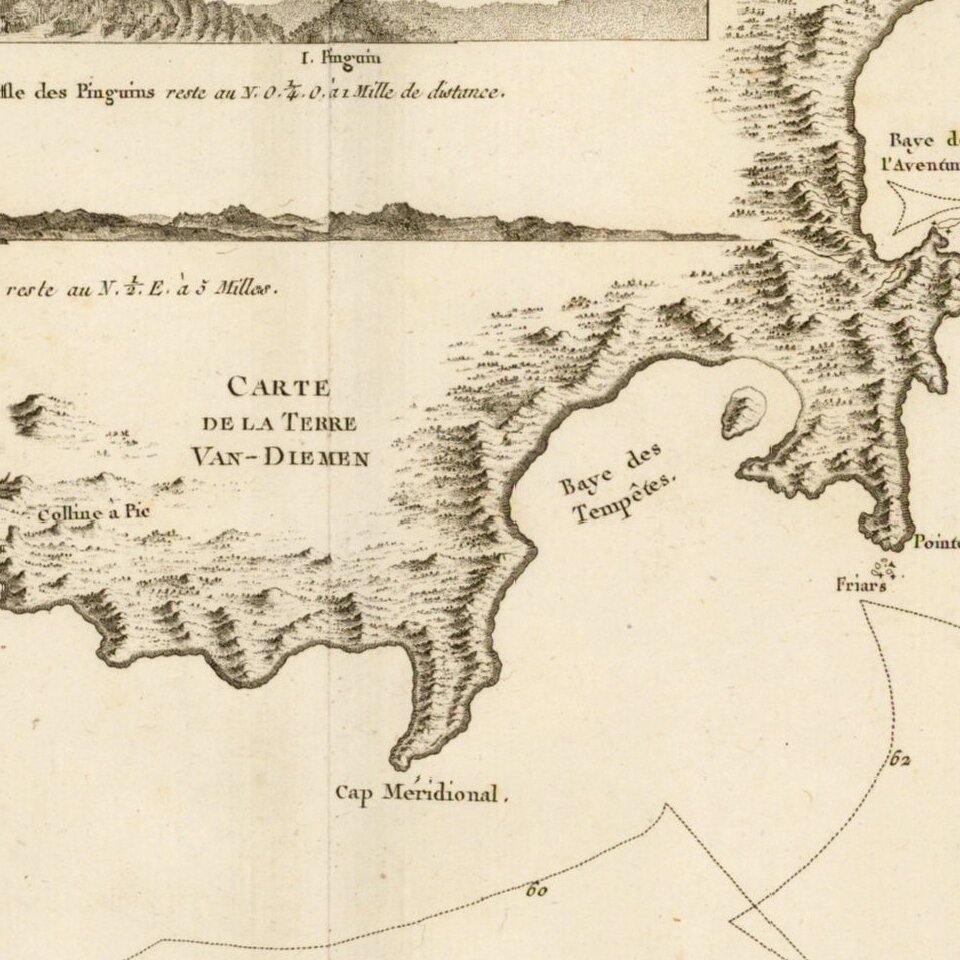
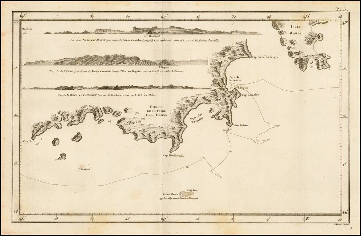
Detailed map of the Coast of Van-Diemen (Tasmania), from the French edition of the official account of Cook's voyage.

Includes several profile views.


Special conditions for students!

If you are a student, write to us in telegram: @antiquemaps and indicate what material you need and for what work you need a map in high detail. We are ready to provide material on special terms. For students only!

Item information:

Year of creation:
Size:
3001x1963 px
Disk:
882235B
Number of pages:
1
Place:
Paris
Author:
James Cook.
$9.99

Related item