Map size in jpg-format: 6.28477MiB
Click to open in high resolution (open in new tab).
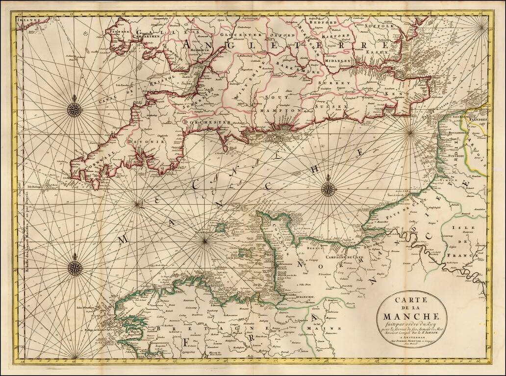
Striking large and highly detailed map of the English Channel, based upon A.H. Jaillot's map, but with significantly more detail, especially on shore.
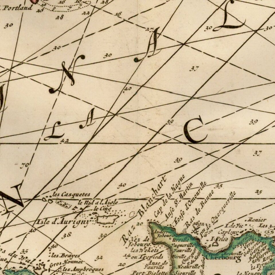
Includes Compass Rose, Rhumblines and other features more typical of a sea chart.
Extends inland on the Seine to Paris and along the Thames to London.
Pierre, or Pieter, Mortier (1661-1711) was a Dutch engraver, son of a French refugee. He was born in Leiden. In 1690 he was granted a privilege to publish French maps in Dutch lands. In 1693 he released the first and accompanying volume of the Neptune Francois. The third followed in 1700. His son, Cornelis (1699-1783), would partner with Johannes Covens I, creating one of the most important map publishing companies of the eighteenth century.
If you are a student, write to us in telegram: @antiquemaps and indicate what material you need and for what work you need a map in high detail. We are ready to provide material on special terms. For students only!


