Map size in jpg-format: 1.13288MiB
Click to open in high resolution (open in new tab).
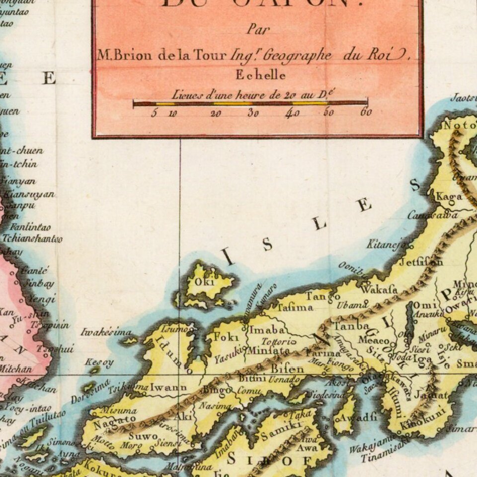
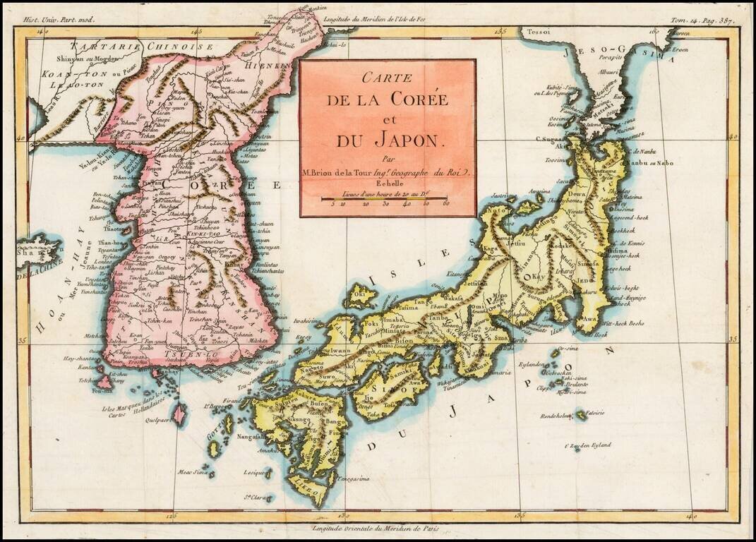
Excellent map of Japan and Korea, showing the towns, rivers, mountains, islands and other major features of each.
Based upon the D'Anville model, according to Lutz Walter, who was unable to identify the source of the work from which this map came.
If you are a student, write to us in telegram: @antiquemaps and indicate what material you need and for what work you need a map in high detail. We are ready to provide material on special terms. For students only!
![[First Map of the American Continent] Tavola dell' isole nuove, le quali son nominate occidentali, & indiane per diversi rispetti.](/map/small/67312.jpg)

![[English Edition!] Maris Pacifici quod vulgo Mar del Zud](/map/small/71000.jpg)