logo

1640. Carte de Champagne a Paris Ches N. Berey Enlumineur du Roy au bout du pont neuf aux 2 Globes

  • Carte de Champagne a Paris Ches N. Berey Enlumineur du Roy au bout du pont neuf aux 2 Globes

Carte de Champagne a Paris Ches N. Berey Enlumineur du Roy au bout du pont neuf aux 2 Globes information:

Year of creation: 
Resolution size (pixels): 
 2159x1612 px
Disk Size: 
 1.34865MiB
Number of pages: 
 1
Place: 
 Paris
Author: 

Print information. Print size (Width x height in inches):
Printing at 72 dpi 
  29.99 х 22.39
Printing at 150 dpi 
 14.39 х 10.75
Printing at 300 dpi 
 7.2 х 5.37

An example of detailing the file of this map of in a printable high-resolution:

Click to open in high resolution (open in new tab).
Attention! this is just the central piece (central area 960x960 px) of the map file!
This is an example, so that you can see and study the level of detail of a given map. The entire Map will be fully available after payment!

Carte de Champagne a Paris Ches N. Berey Enlumineur du Roy au bout du pont neuf aux 2 Globes

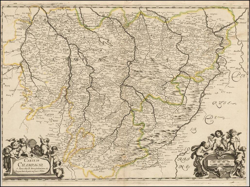
Exceedingly rare map of the Champagne region, published by Nicolas Berey in Paris.

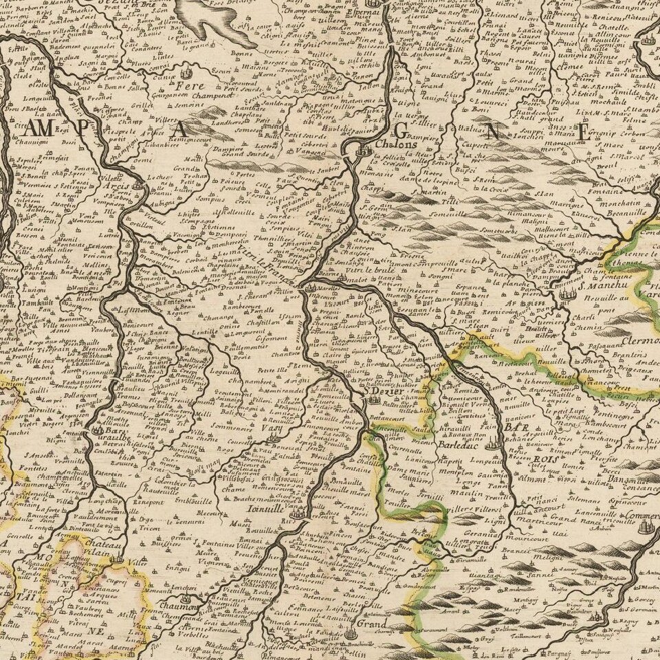
The map covers a wide swath of central France, with northwest at the the top.

Auxerre is shown at the center left of the map, with the Moselle River at the far right (from Commercy to Charleville-Mézières)

The cities of Fismes, Monmirel Pere Et Fils are shown across the top.


Special conditions for students!

If you are a student, write to us in telegram: @antiquemaps and indicate what material you need and for what work you need a map in high detail. We are ready to provide material on special terms. For students only!

Item information:

Year of creation:
Size:
2159x1612 px
Disk:
1.34865MiB
Number of pages:
1
Place:
Paris
Author:
Nicolas Berey.
$9.99

Related item