Map size in jpg-format: 62.1249MiB
Click to open in high resolution (open in new tab).
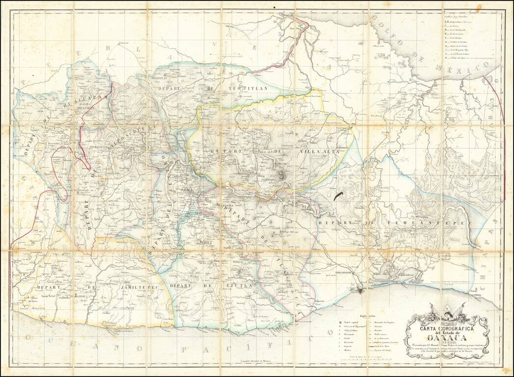
Early Modern Map of the State of Oaxaca
Finely executed map of the State of Oaxaca, prepared by C. Manuel Ortega and lithographed by Litog de Salazar, on Calle de la Palma in Mexico City.
Drawn from Ortega's original map of Oaxaca (#787 in the Boletín de la Sociedad Mexicana de Geografía y Estadística), the map portrays the city and state of Oaxaca between the Atoyac and Jalatlaco Rivers. Originally drawn in the decades following Mexico's independence from Spain, it is the first modern map of the state of Oaxaca.
The title translates as “Corographic Map of the State of Oaxaca and its Diocese. Constructed by, a Professor of Medicine, Surgery, and Anatomy at the Institute of Sciences and a Member of the Esteemed Mexican Society for Geography and Statistics.”
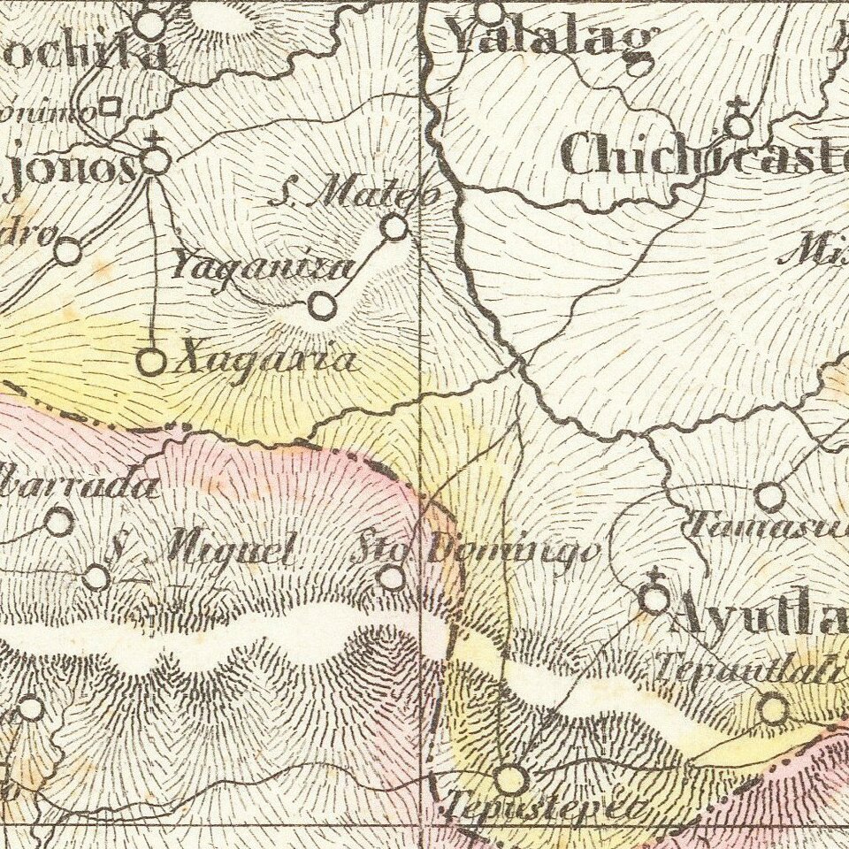
A “carta corografica” refers to the mapping of a local geographic region, with a focus on the surrounding landscape. The state of Oaxaca is shown in immense detail: capital cities, pueblos, haciendas, subprefectures, parishes, mills, paths, and bridges, including of what material they were made. The map also places emphasis on the local administrative seats and other locations of political importance.
Oaxaca is known to be tremendously mountainous and is a geographical meeting place for several mountain chains: the Sierra Madre del Sur, the Sierra Atravesada, and the Sierra Madre de Oaxaca. For this reason, in the top right-hand corner of this map there is a list of the ten highest peaks of Oaxaca.
The earliest known map of Oaxaca, from the colonial era, was printed in 1795. It is held in the Archivo General de la Nación in Mexico City. Other cartographic representations from this period are rare and are most often manuscripts. Of those that are printed, few were printed in Mexico, but rather in Europe.
El Instituto de Ciencias
The Instituto de Ciencias, mentioned in the title, is now known as the Benito Juarez Autonomous University of Oaxaca. The Instituto was founded by a group of wealthy liberal Spanish professors who sought a space for intellectual life, the cultivation of knowledge, and the preservation and spread of culture. While the university was founded in 1821, it was not fully operational until January 8th, 1827. C. Manuel Ortega was working as a professor there when he began constructing this map.
It is likely that the work of the Instituto was done in conjunction with the broader efforts of the nascent Mexico to create modern indigenous maps of all parts of Mexico, a project which was then actively being undertaken by the Sociedad Mexicana de Geografía y Estadística (SMGE). The SMGE (Mexican Society for Geography and Statistics), founded in 1833, was the first scientific and geographical society in Mexico. The SMGE was established when Mexico was in urgent need of cartography to advocate for the mapping and borders of the newly independent Mexican state to aid governmental agencies. The aim of their projects was to survey physiography and natural resources, find potential for development, and observe the nature of populations: size, age distribution, and ethnic and linguistic makeup.
The above map is an excellent example of this society’s influence on Ortega while he constructed the map. Based on Ortega’s work history and the foundation dates of the institution and society, the original map was most likely made in the mid-1830s, with the printed version published ca. 1857 (dated based upon the surviving example in the collection of the American Geographical Society).
Rarity
The map is very rare. We locate an example in the collection of the American Geographical Society (University of Wisconsin, Milwaukee). This is also the year given in the SMGE Boletin.
If you are a student, write to us in telegram: @antiquemaps and indicate what material you need and for what work you need a map in high detail. We are ready to provide material on special terms. For students only!


![Map of Mexico, Central America, and the West Indies [Insets of Bermuda, Sandwich Islands, Jamaica and Panama Railroad]](/map/small/69133.jpg)