Map size in jpg-format: 6.59451MiB
Click to open in high resolution (open in new tab).

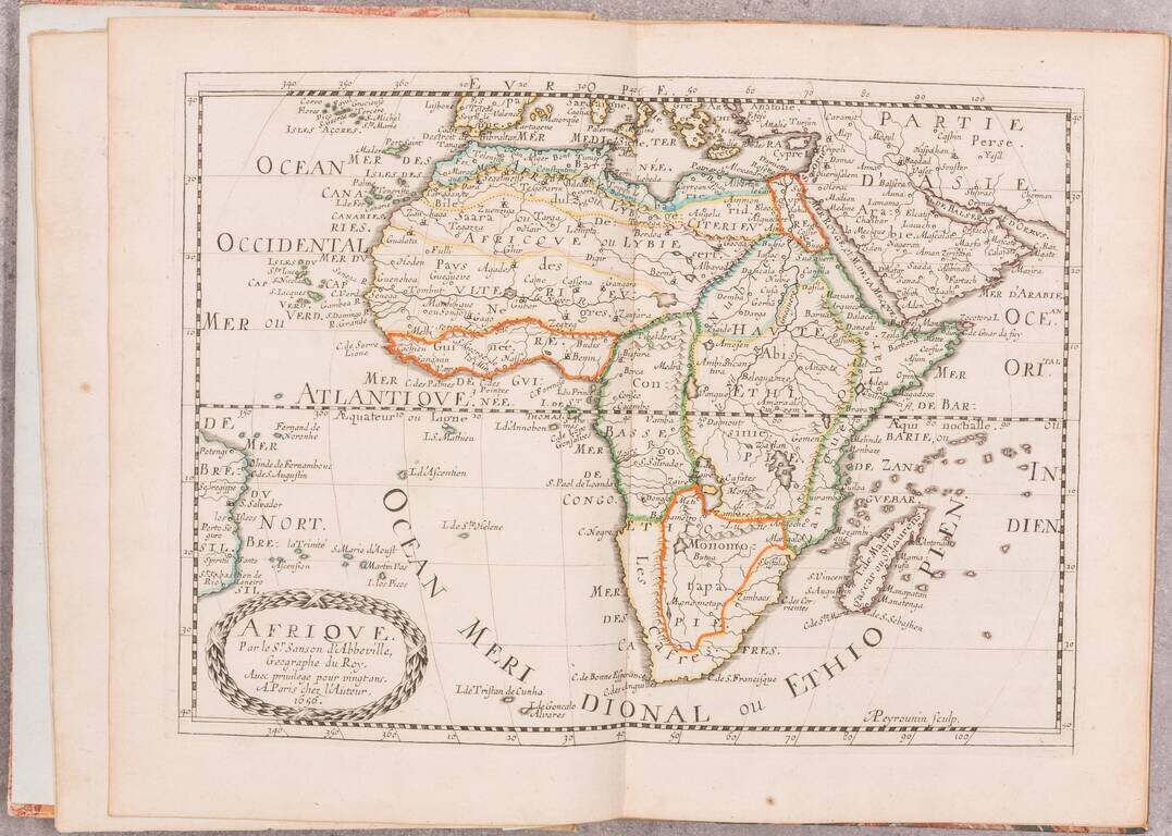
Rare Edition in Handsome Original Outline Hand-Color.
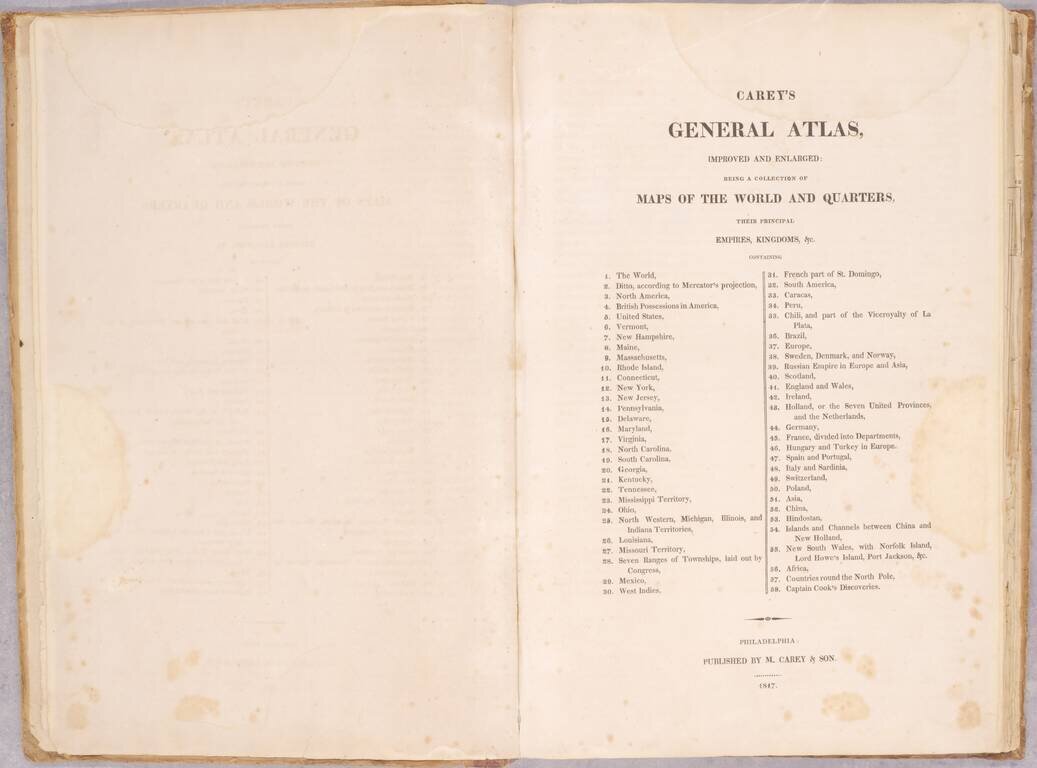
A beautiful example of this very rare edition of Carey's General Atlas, published in Philadelphia in 1817, one year before the final edition of 1818.
This is the 58-map version of the atlas; there was also a 24-map version which is quite scarce, but which does not include the state maps. This edition of the atlas includes 22 maps of U.S. states or territories, and the map of the Seven Ranges. Carey's General Atlas was most significantly revised in 1814.
In the 1817 General Atlas, the maps of the United States and of Mississippi still shows the large Mississippi Territory encompassing present-day Alabama. That would be switched only for the final edition of 1818, as Alabama Territory had been created later in 1817.
This General Atlas was published by "Carey & Son" the incarnation of the iconic firm between 1817 and 1821.
Carey & Son refers to the period when Mathew Carey (1760-1839) ran his publishing business with his son, Henry Charles Carey (1793-1879). Mathew began the business in the 1790s and published several important atlases, including the earliest general atlas of the United States, the American Atlas. Henry entered the firm as a junior partner in 1817 and worked alongside his father until 1822, when his father retired and Henry bought out his father’s shares. They also brought in Isaac Lea (1792-1886) as a junior partner; Lea had recently married Henry’s sister. From then, the firm was known as Carey & Lea.
If you are a student, write to us in telegram: @antiquemaps and indicate what material you need and for what work you need a map in high detail. We are ready to provide material on special terms. For students only!
![[Blaeu Atlas of America] America, Quae Est Geographiae Blavianae Pars Quinta Liber Unus Volumen Undecimum](/map/small/66852.jpg)