Map size in jpg-format: 62.6872MiB
Click to open in high resolution (open in new tab).
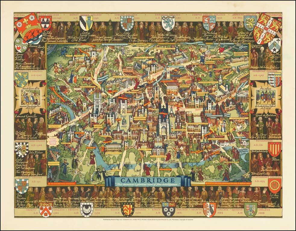
An attractive pictorial map of the idyllic and historical university town of Cambridge. The twenty-one constituent colleges of the university are all listed and shown around the map, save for Selwyn, Newnham, and Girton. The city is portrayed in accurate pictorial detail, with many famous figures from the university's and town's history are shown throughout the map.
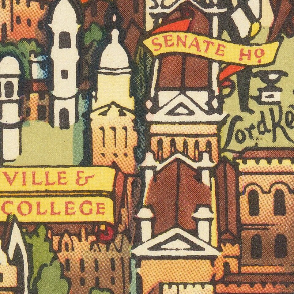
The city is here pictured from the west across the Cam, allowing for a unique view on the city. The area around Grange and Queen's roads have not yet been built up, and the colleges are free of their newer Cripps Courts, giving an unencumbered view on the city from this direction. Most buildings are shown accurately, although the Fitzwilliam museum is rotated shifted to show off its columnar facade.
Residents and students from all eras scatter the map. A Roman soldier marches up Regent Street, site of the old Via Devana. While on a walk, Milton encounters a jogging Darwin. David Cecil sprints in the direction of the track past Byron and Thackeray, deep in discussion. Newton, Keynes, Wordsworth, and many others wander through their respective colleges.
Surrounding the map is a border with the crests and coats of arms of the colleges alongside the coat of arms for the city and the university. Alongside stand many more important figures in the history of the university, from the founders to important alumni. Some scenes from medieval Cambridge, including the arrival of students from Oxford, are shown.
Kerry Ernest Lee (1903–88) was an illustrator and poster-designer. Born in Hackney, Lee is known for the posters he created for British Rail (LMR and ER), and for maps of several British cities after the Second World War.
This map is one of his best efforts, blending characteristic meticulous detail with gentle humor. Lee often drew himself, together with his dog Jim, in one corner by his name, as illustrated in this map in the lower left.
Printed by Chromoworks Ltd, it was published by Pictorial Maps Ltd in 1948. Lee created similar pictorial maps for Cambridge, Stratford upon Avon, and London, for the Travel Association of Great Britain and Northern Ireland, the tourist division of the short-lived British Tourist and Holidays Board (1947–50).
Lee spent some of his early years in Switzerland; later he attended Reading School of Arts & Science, the Slade School of Fine Art, and the Sorbonne. His first pictorial map of London might have been produced for the Coronation of George VI in 1936. During the War, Lee was attached to the Air Ministry, where he made detailed cut-away drawings of German aircraft for the RAF.
If you are a student, write to us in telegram: @antiquemaps and indicate what material you need and for what work you need a map in high detail. We are ready to provide material on special terms. For students only!


