Map size in jpg-format: 4.60071MiB
Click to open in high resolution (open in new tab).
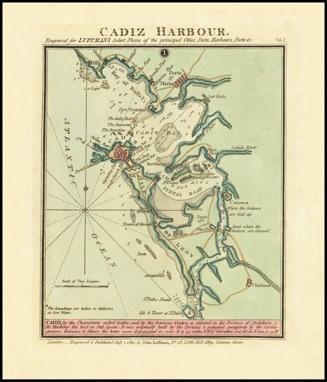
Rare harbor chart of Cadiz, published in London by John Luffman.
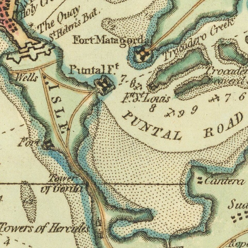
The map shows Rota, Porto St. Maria, Fort Saint Sebastien, Puntal Road, Carraca, and Chiclana. Includes soundings, roads and other information for mariners.
The text at the bottom notes:
Cadiz, by the Phoenecians called 'Gadir' and by the Romans 'Gades', is situated in the province of Andalusia & its harbour the best in Old Spain. It was originally built by the Tyrians and possessed successively by the Carthaginians, Romans, and Moors, the latter were dispossessed in 1260. It is 42 miles N.W. of Gibraltar. Lat. 36.30 N. Lon. 6.40 W."
If you are a student, write to us in telegram: @antiquemaps and indicate what material you need and for what work you need a map in high detail. We are ready to provide material on special terms. For students only!
![(Pro-Spanish Republic Political Broadside) [Lift The Embargo Against The Spanish Republic] President Roosevelt says . . .](/map/small/50218.jpg)

