logo

1801. British Isles

  • British Isles

Map size in jpg-format: 410678B

Download "British Isles", in high resolution.

British Isles information:

Year of creation: 
Resolution size (pixels): 
 1108x1528 px
Disk Size: 
 410678B
Number of pages: 
 1
Place: 
 London
Author: 

Print information. Print size (Width x height in inches):
Printing at 72 dpi 
  15.39 х 21.22
Printing at 150 dpi 
 7.39 х 10.19
Printing at 300 dpi 
 3.69 х 5.09

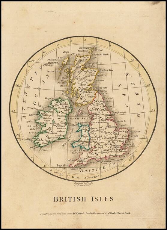
Extremely rare miniature map of the British Isles, which was published by J. Cooke & J. Harris in London in 1801.

The map style, in the circular disk, is quite unusual.

This is the first time we have offered this map for sale.


Special conditions for students!

If you are a student, write to us in telegram: @antiquemaps and indicate what material you need and for what work you need a map in high detail. We are ready to provide material on special terms. For students only!

Item information:

Year of creation:
Size:
1108x1528 px
Disk:
410678B
Number of pages:
1
Place:
London
Author:
John Cooke.
$9.99

Related item