Map size in jpg-format: 315611B
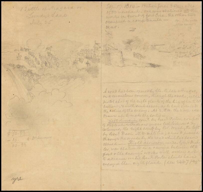
Late-19th or early 20th-century drawing of the Battle of Lundy's Lane during the War of 1812.
There is a pencil drawing of the action on the left side of the sheet and a description on the right.
If you are a student, write to us in telegram: @antiquemaps and indicate what material you need and for what work you need a map in high detail. We are ready to provide material on special terms. For students only!

![[Site of A Presidential Assassination] Plan of the Pan American Exposition to be held at Buffalo, New York (May 1 - Nov. 1, 1901)](/map/small/69181.jpg)